PERCUSION Weather briefing
Current synoptic situation
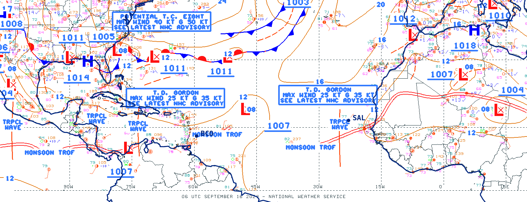
NHC surface analysis
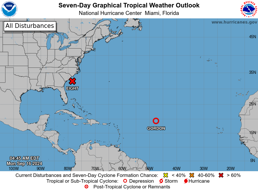
NHC tropical weather outlook
NHC tropical Hovmöller
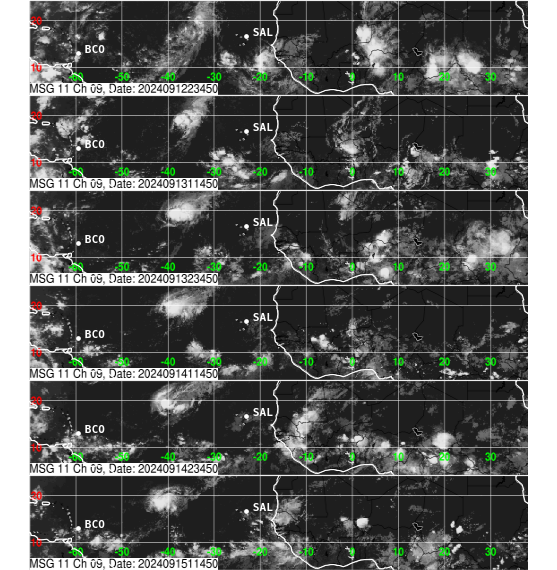
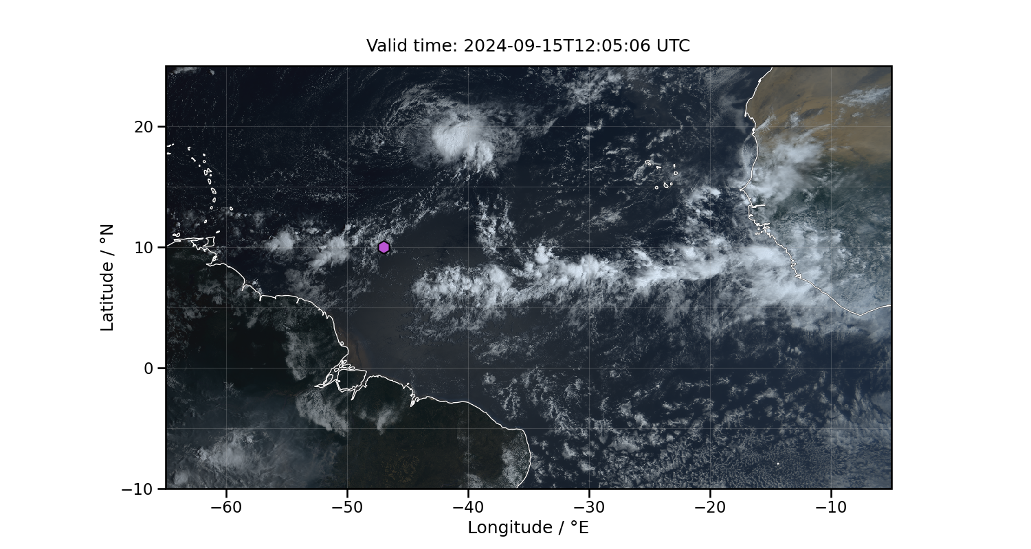
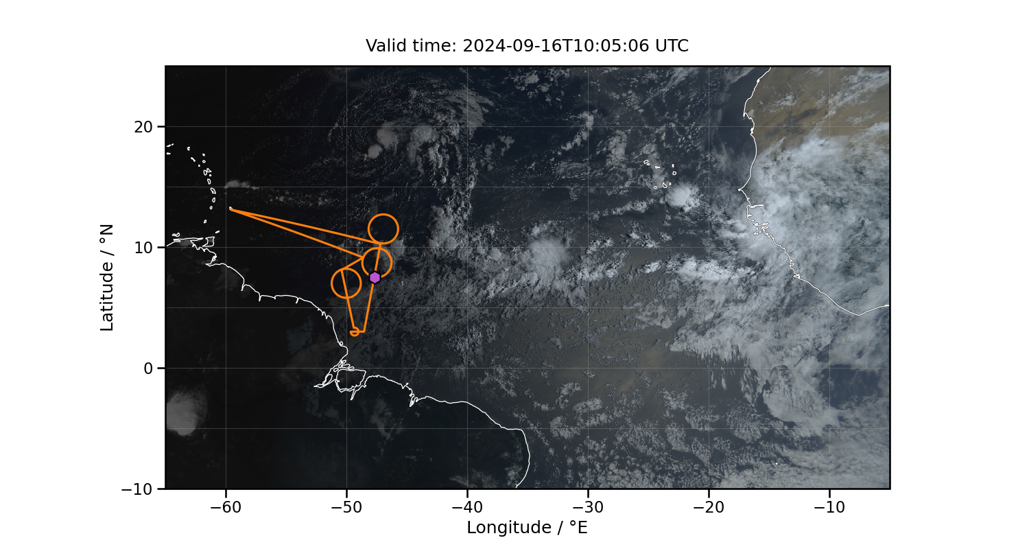
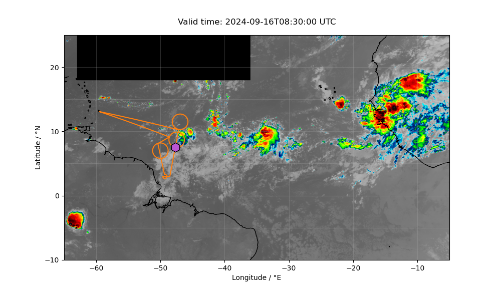
Latest satellite images
GOES yesterday’s image
GOES latest image
GOES WEST Latest Infrared Image
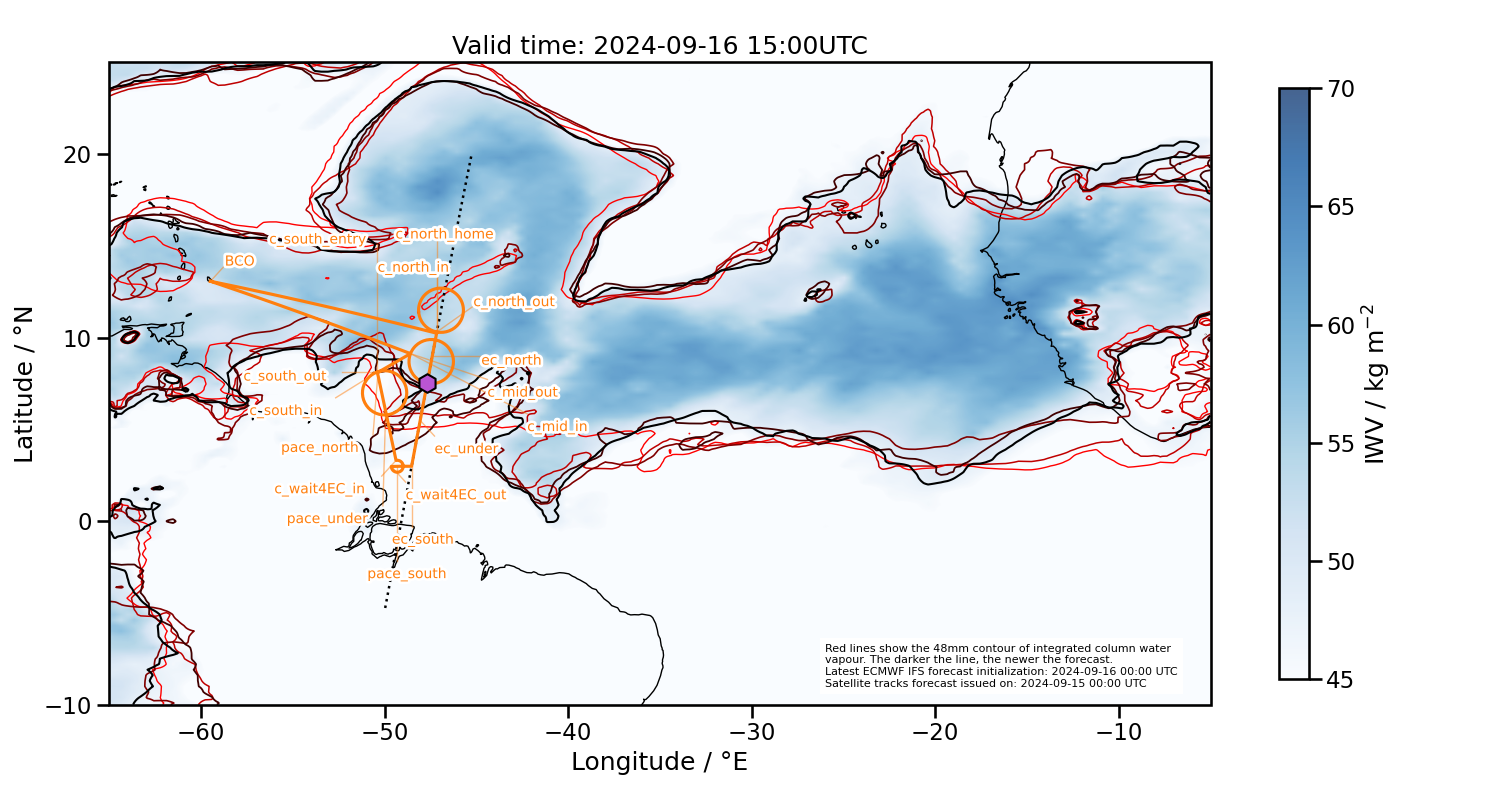
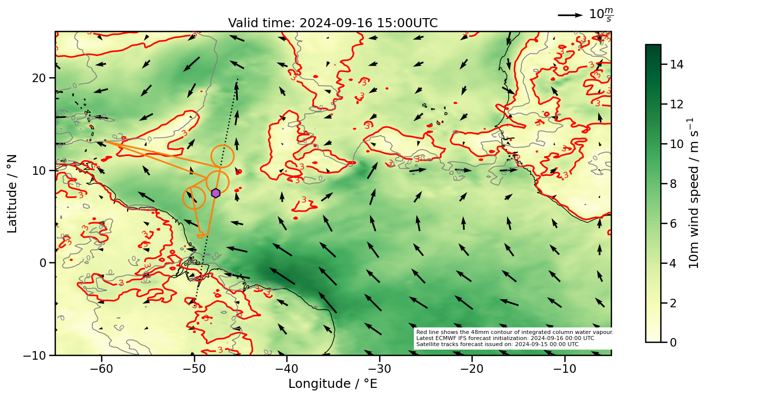
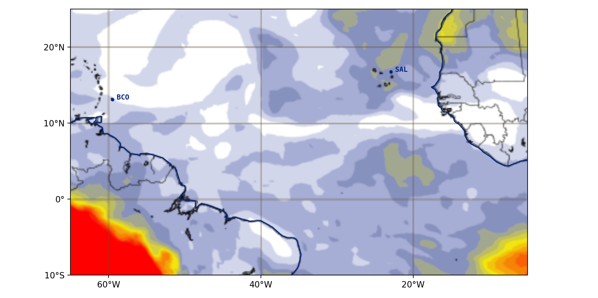
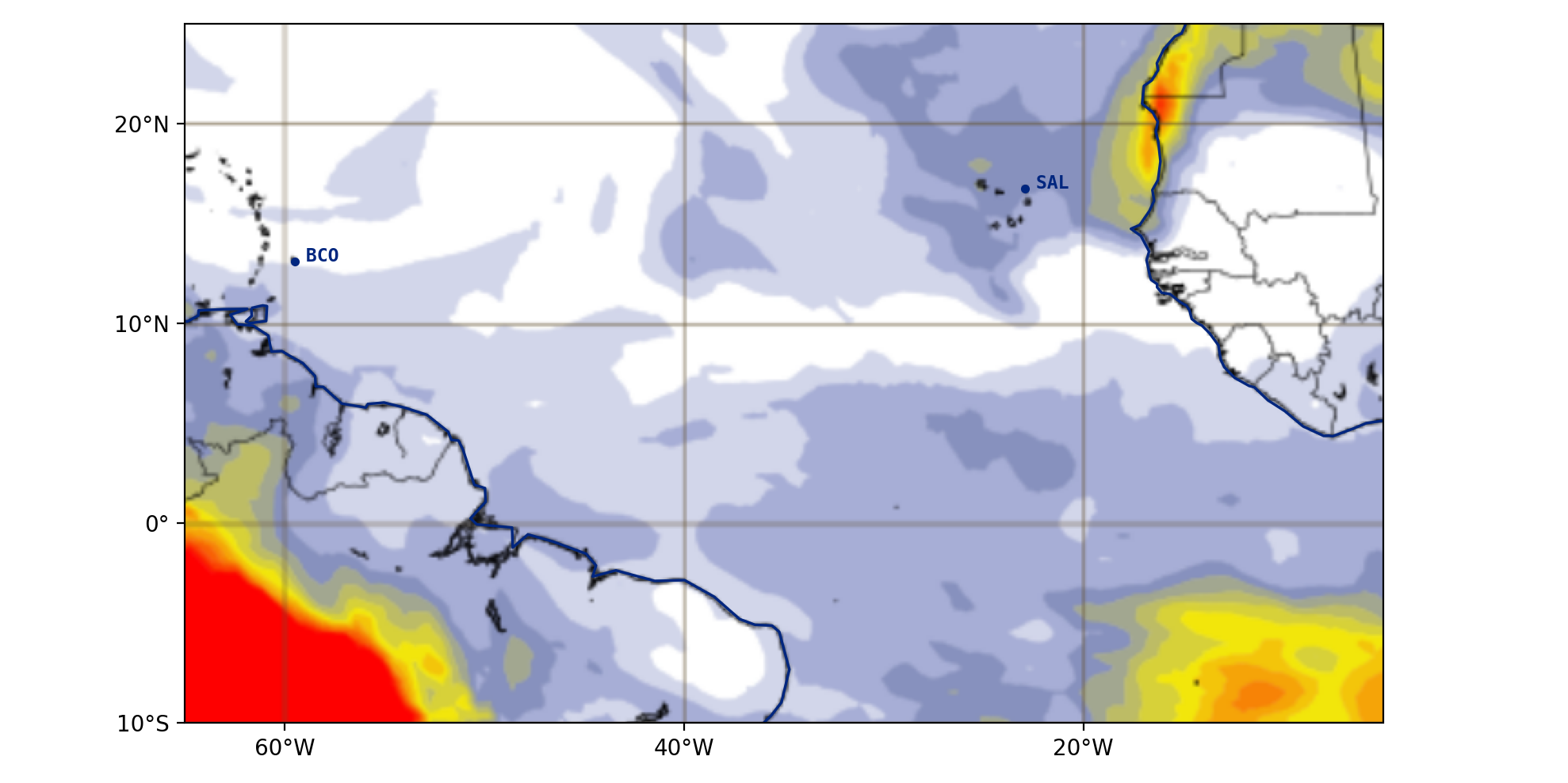
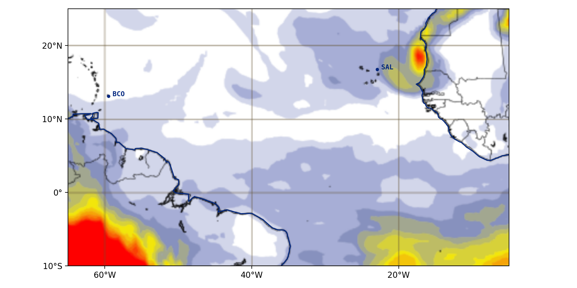
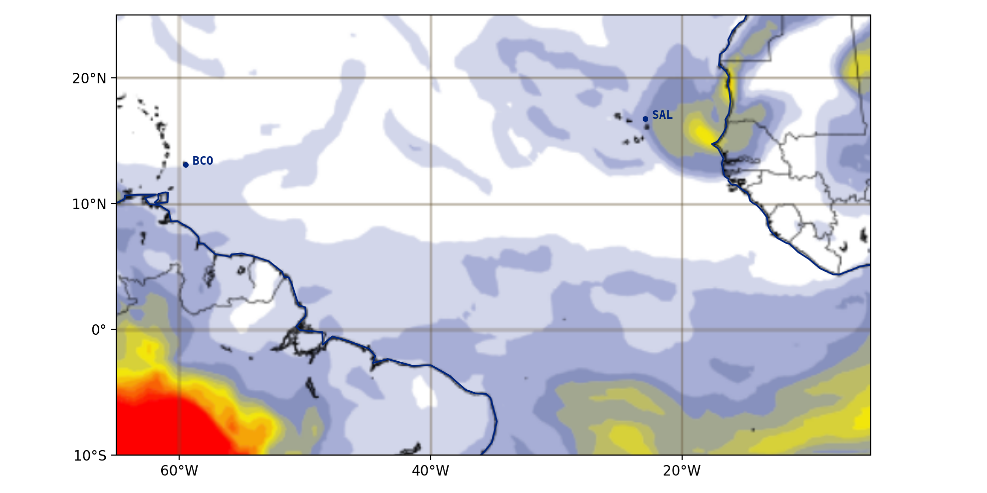
ECMWF Forecasts
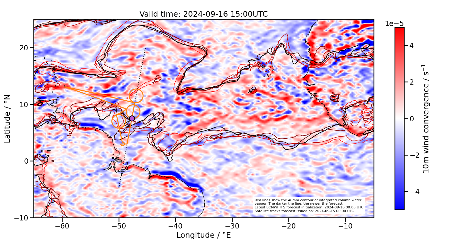
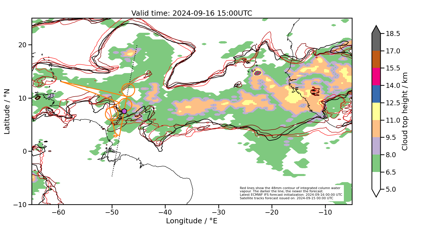
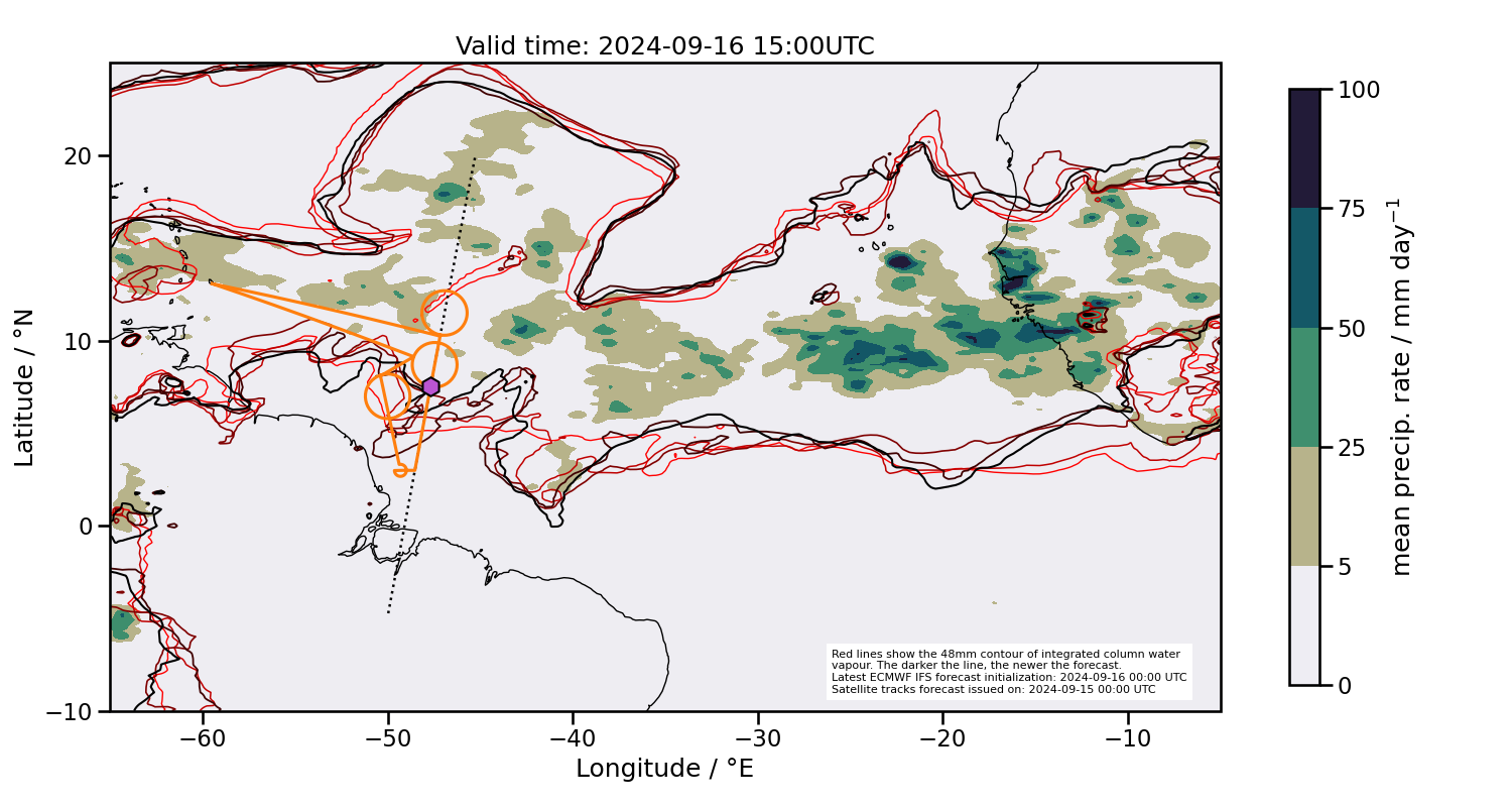
2024-09-16 15:00 UTC
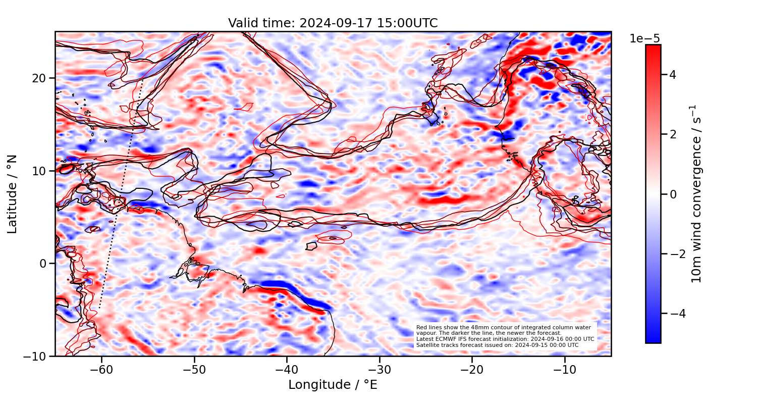
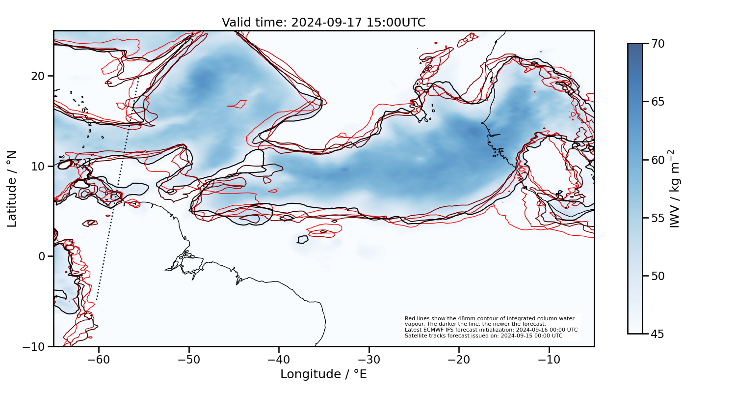
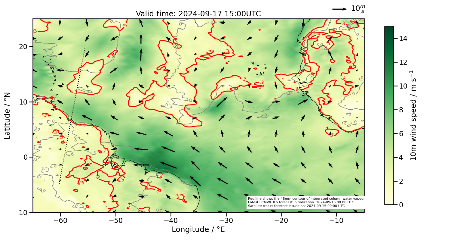
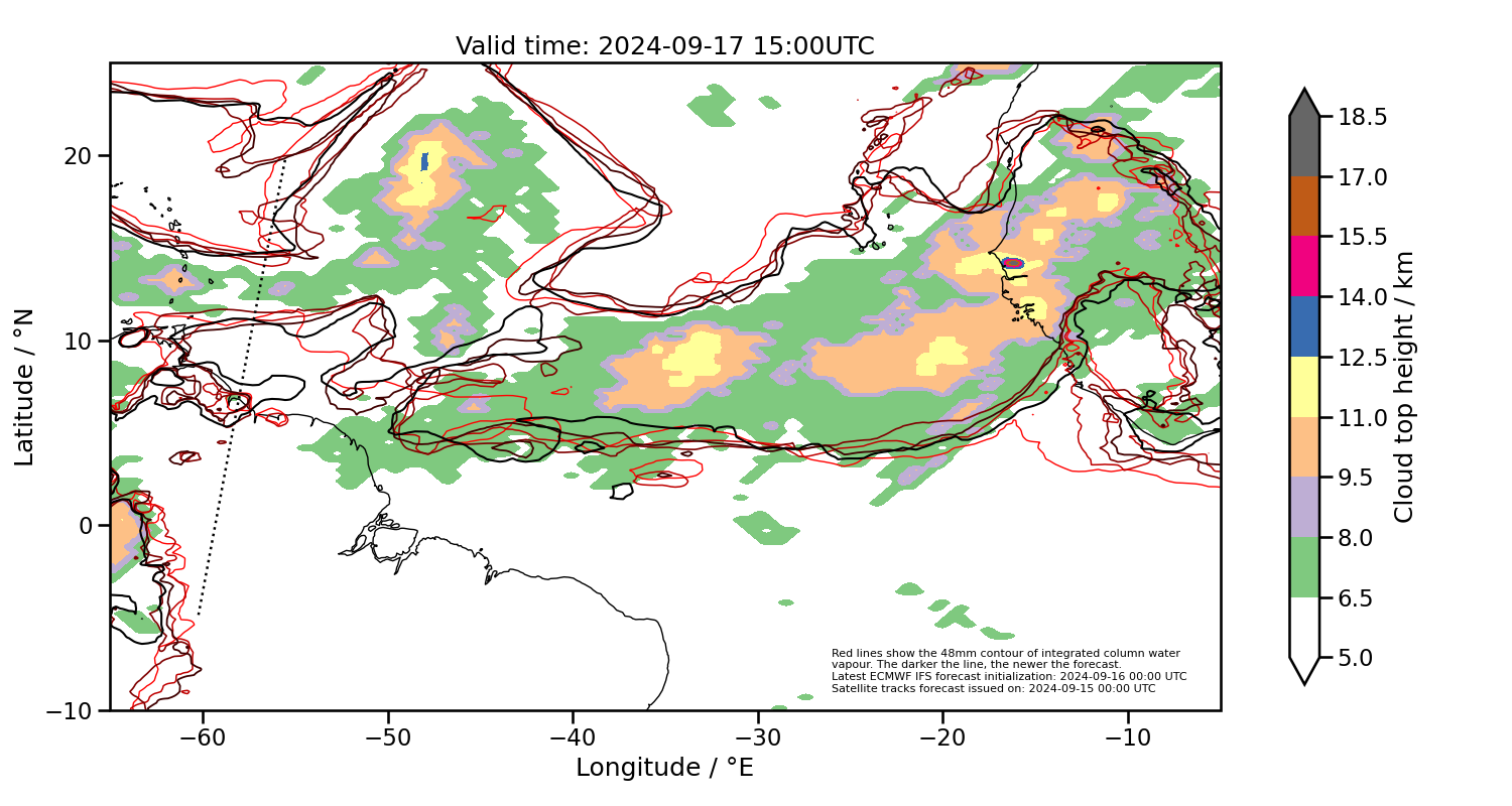
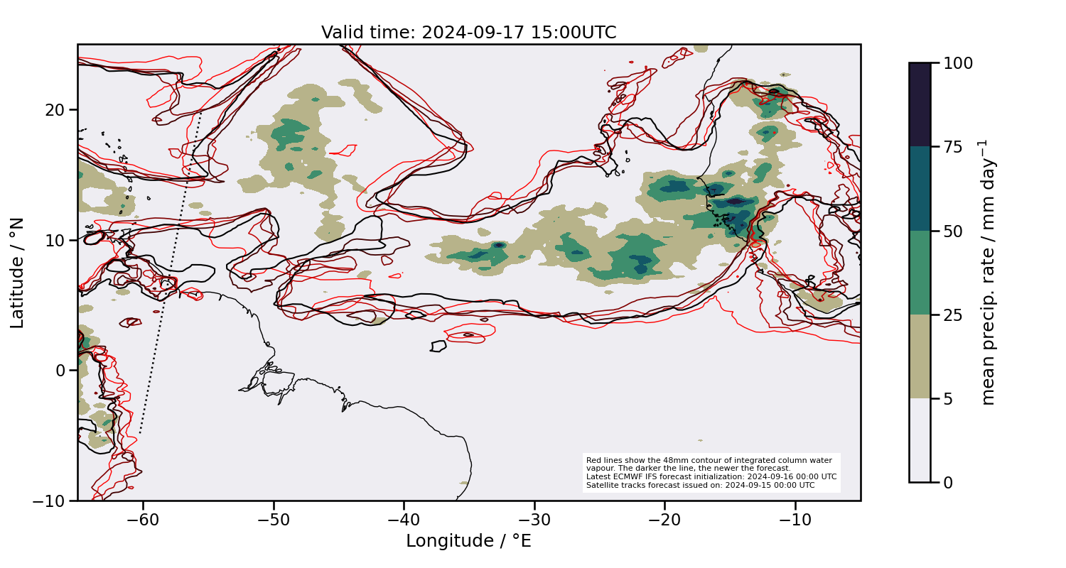
2024-09-17 15:00 UTC
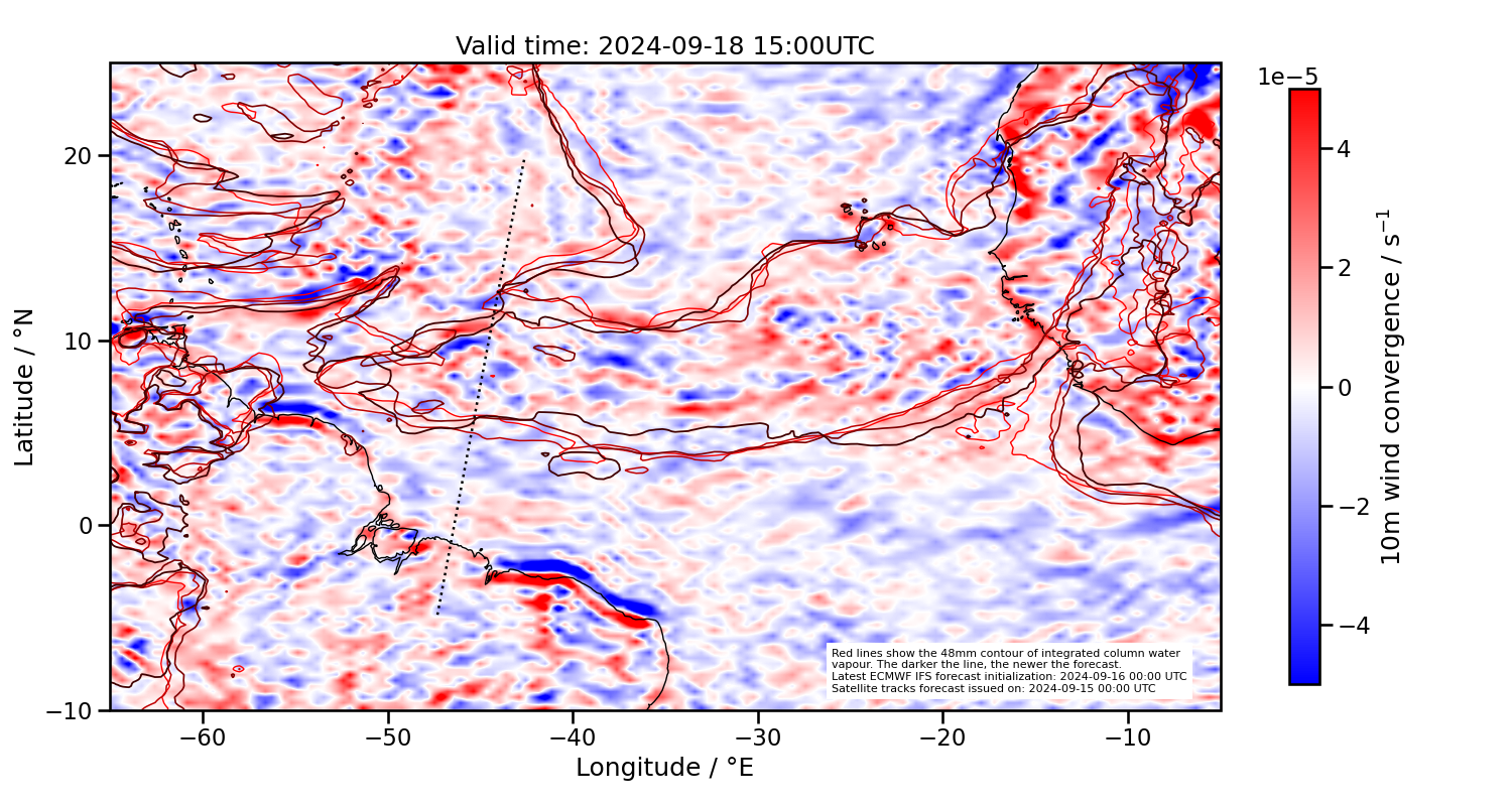
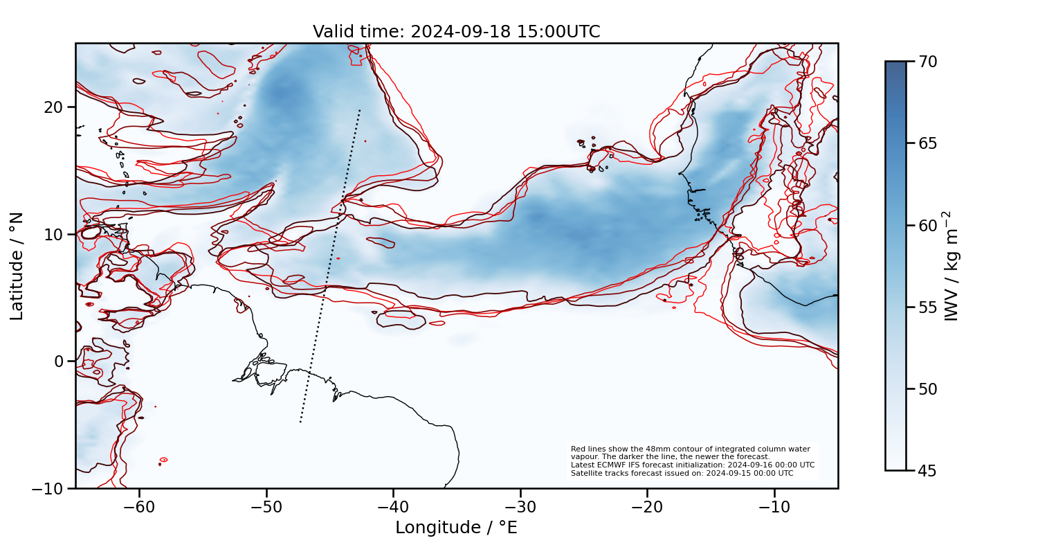
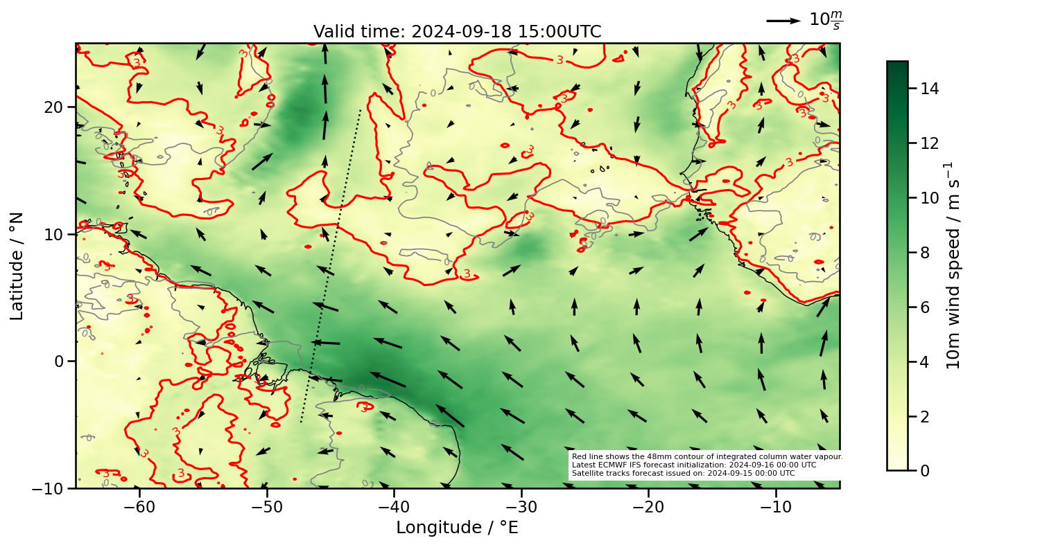
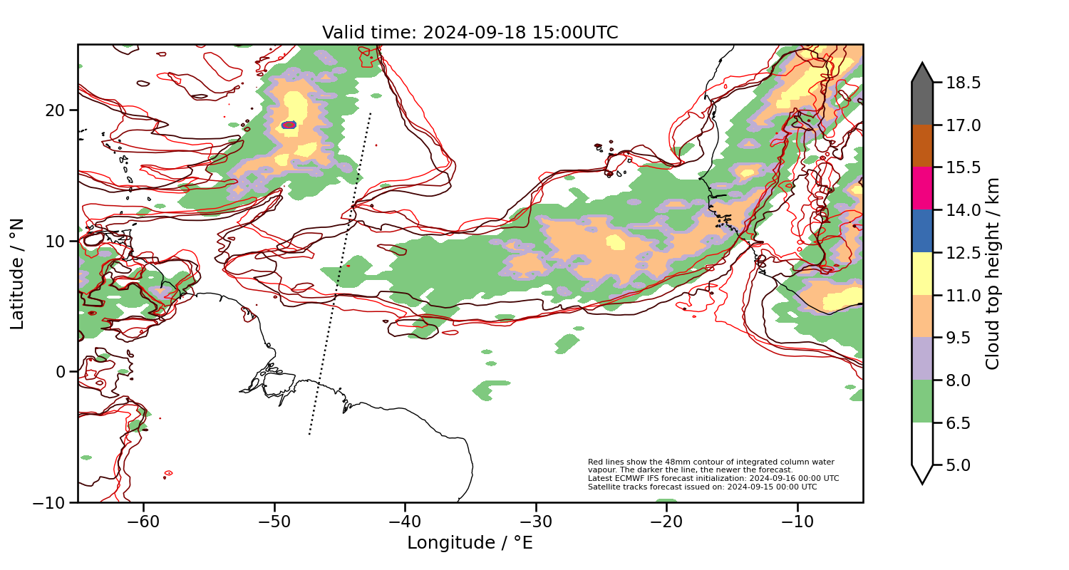
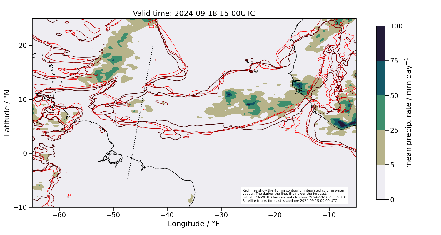
2024-09-18 15:00 UTC
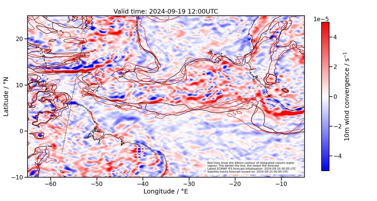
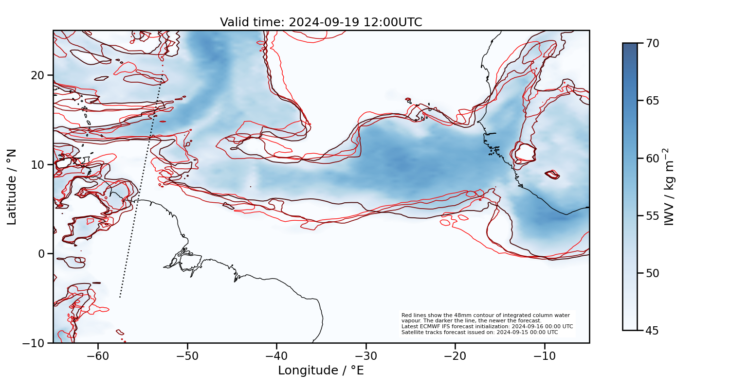
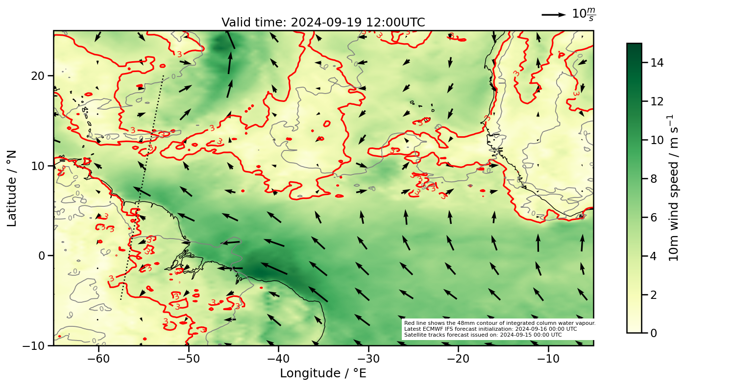
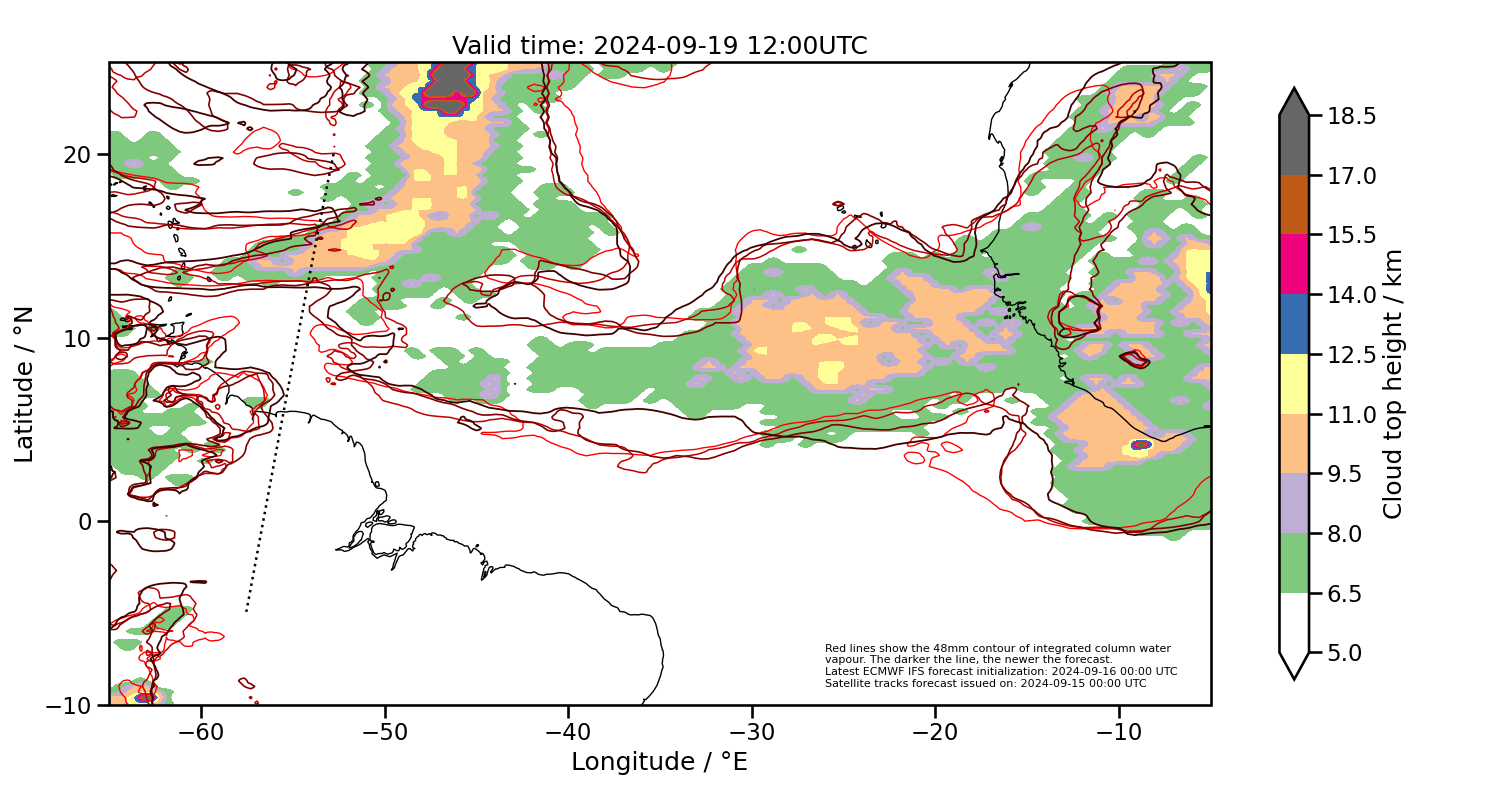
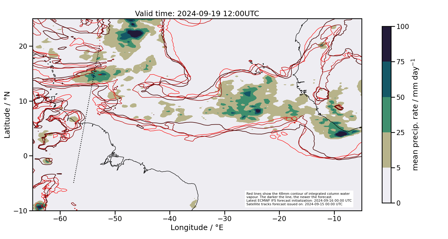
2024-09-19 12:00 UTC
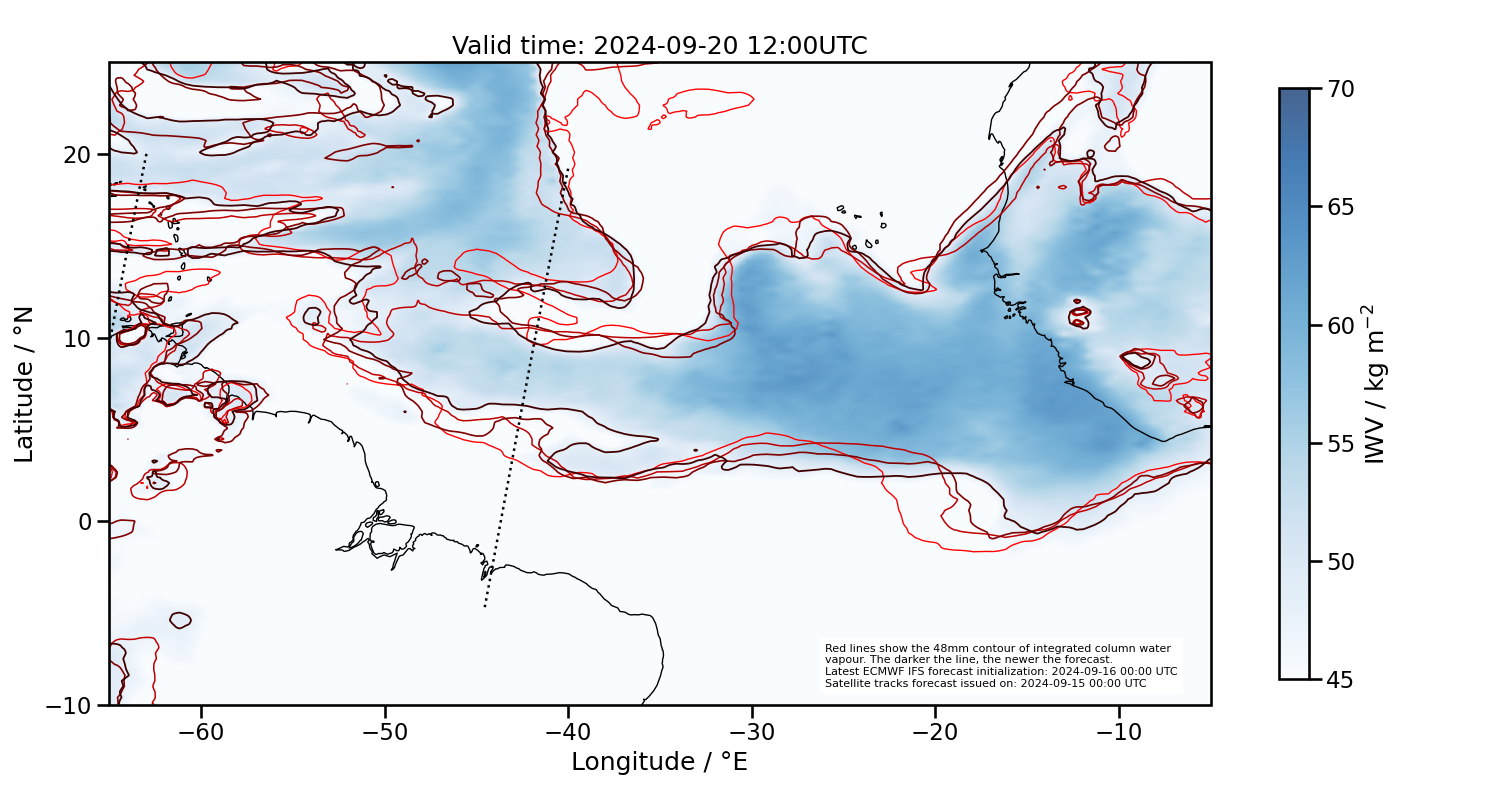
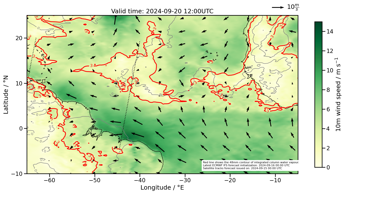
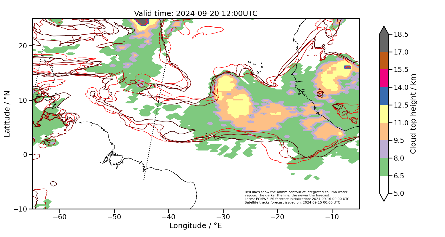
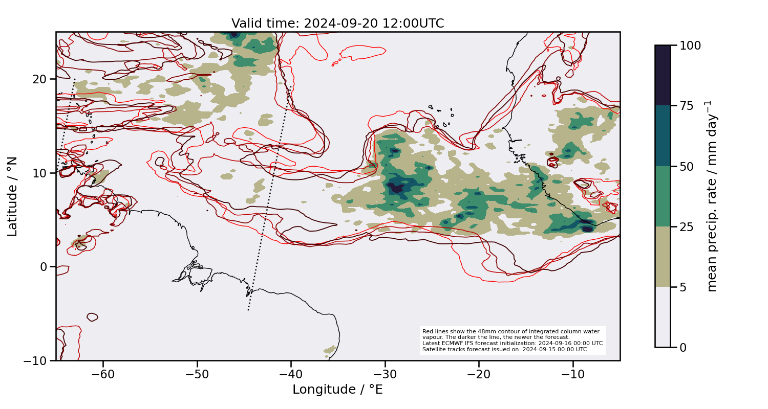
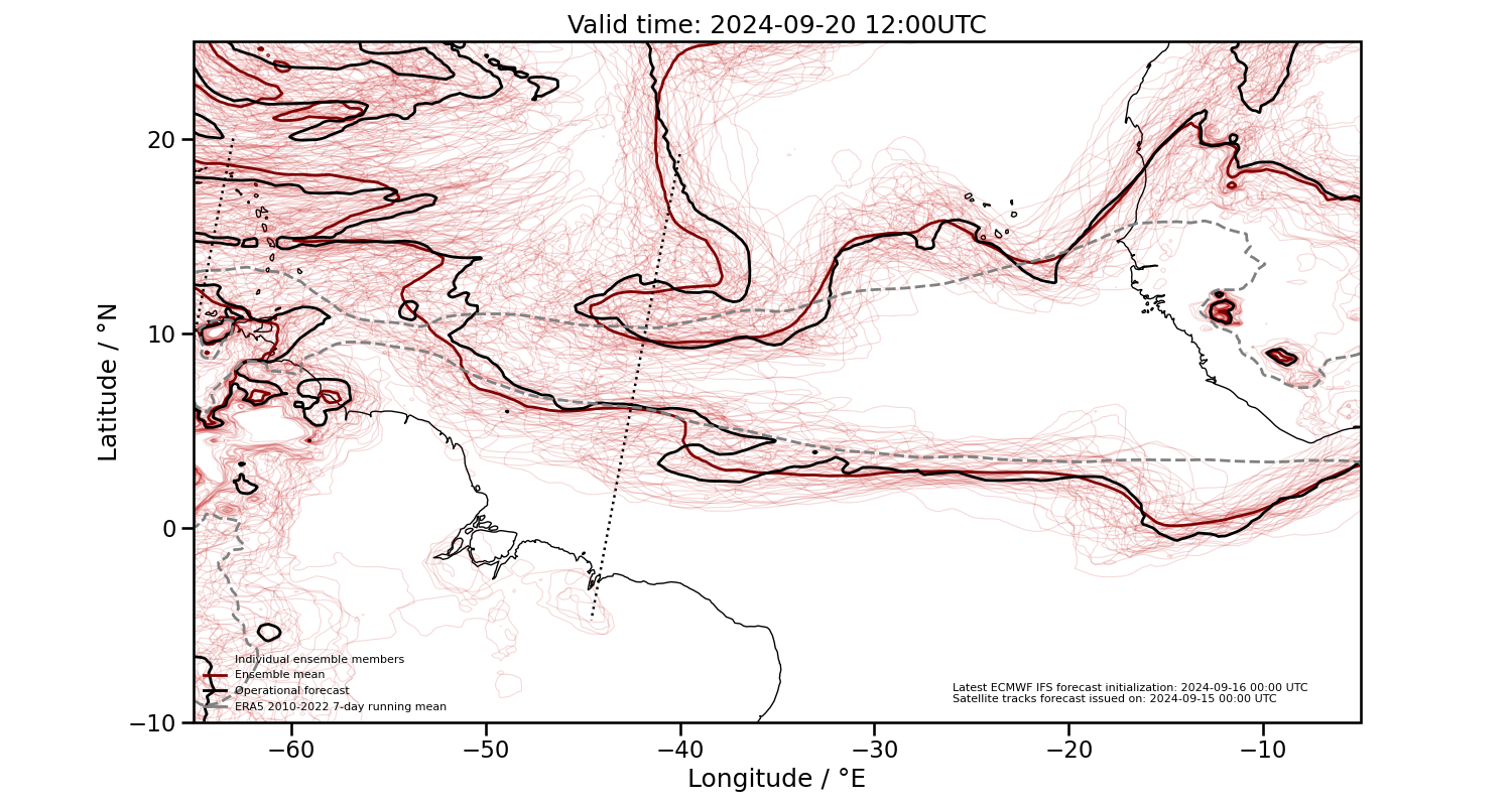
2024-09-20 12:00 UTC
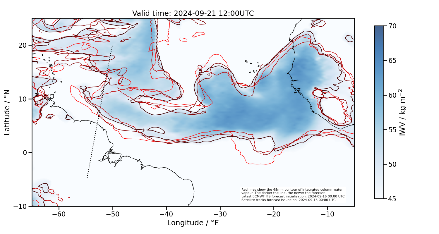
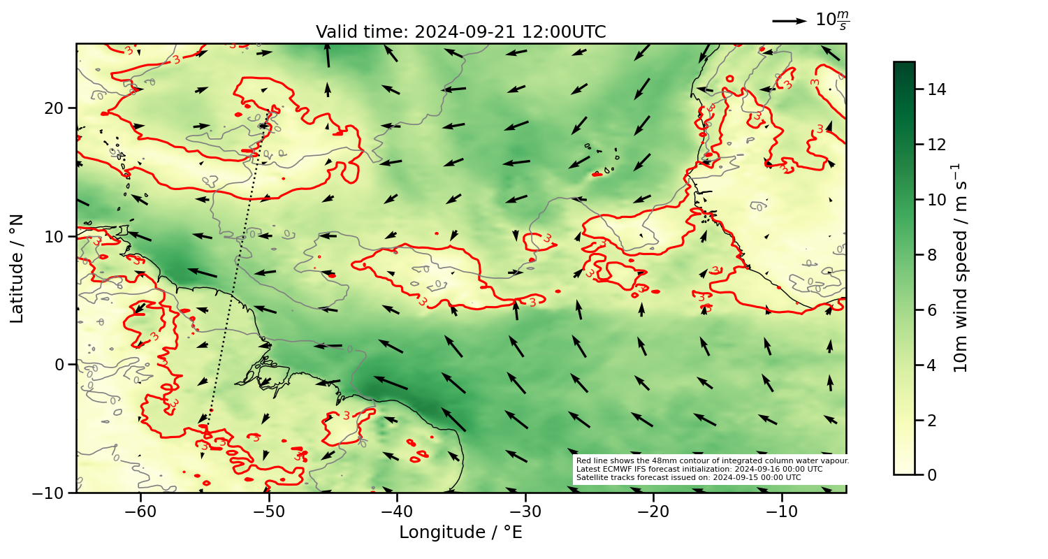
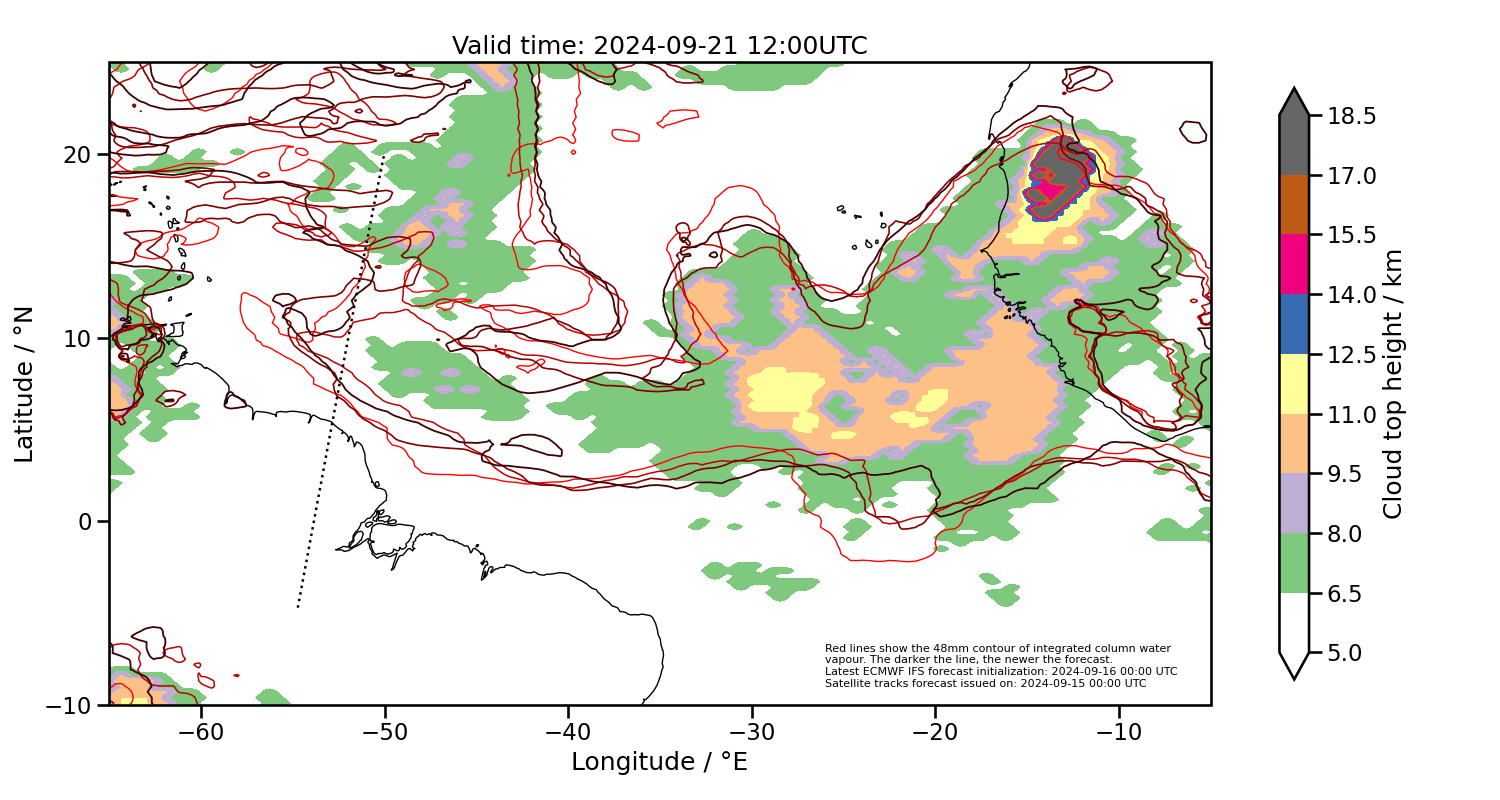
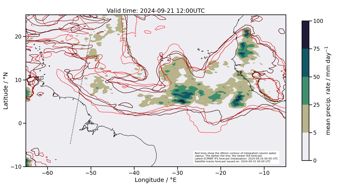
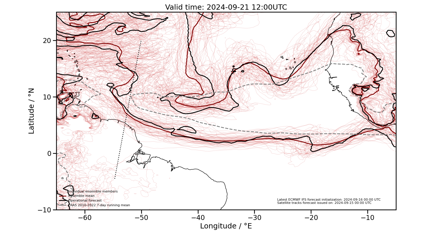
2024-09-21 12:00 UTC
Ensemble forecasts of moist margins
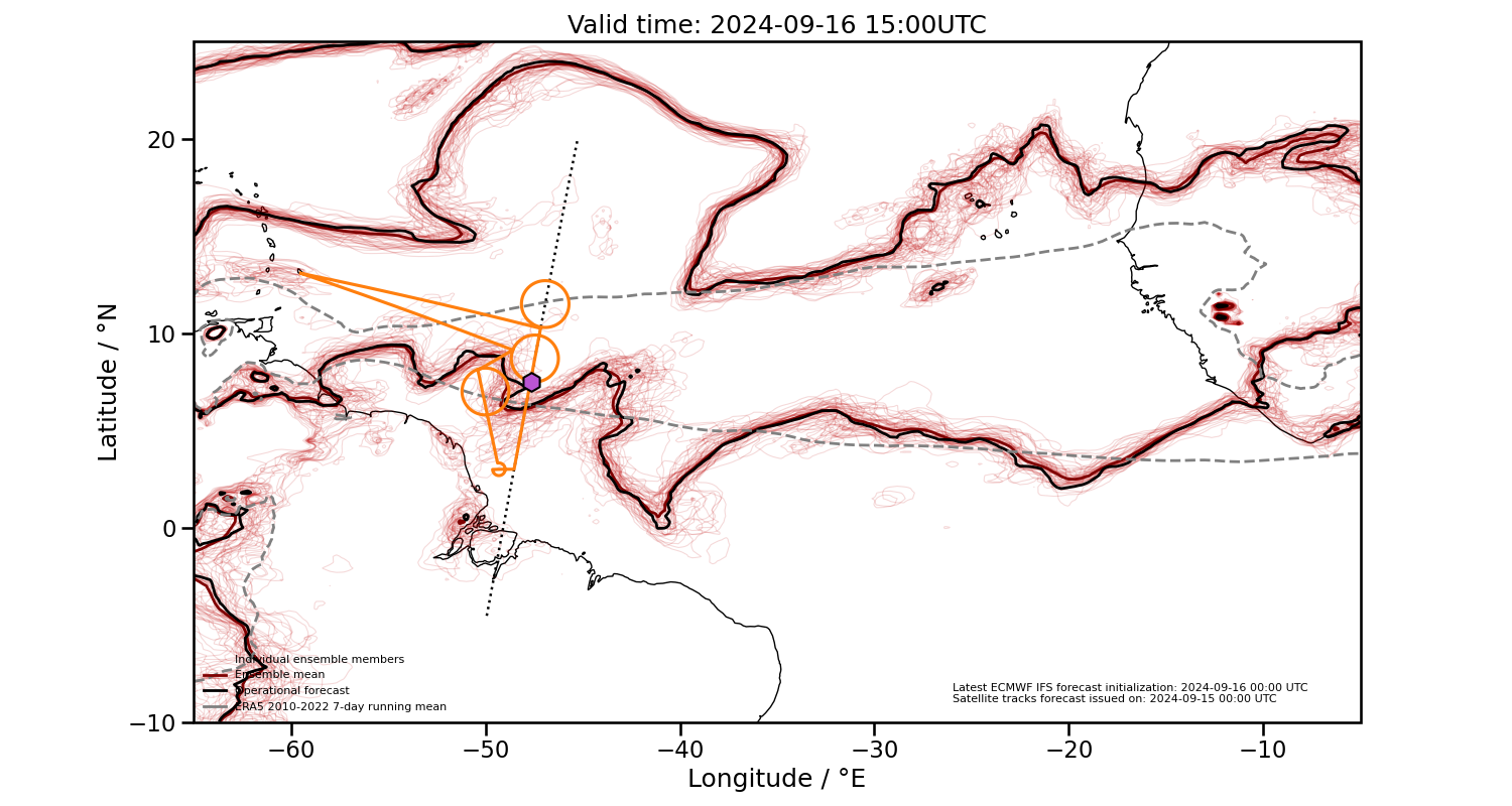
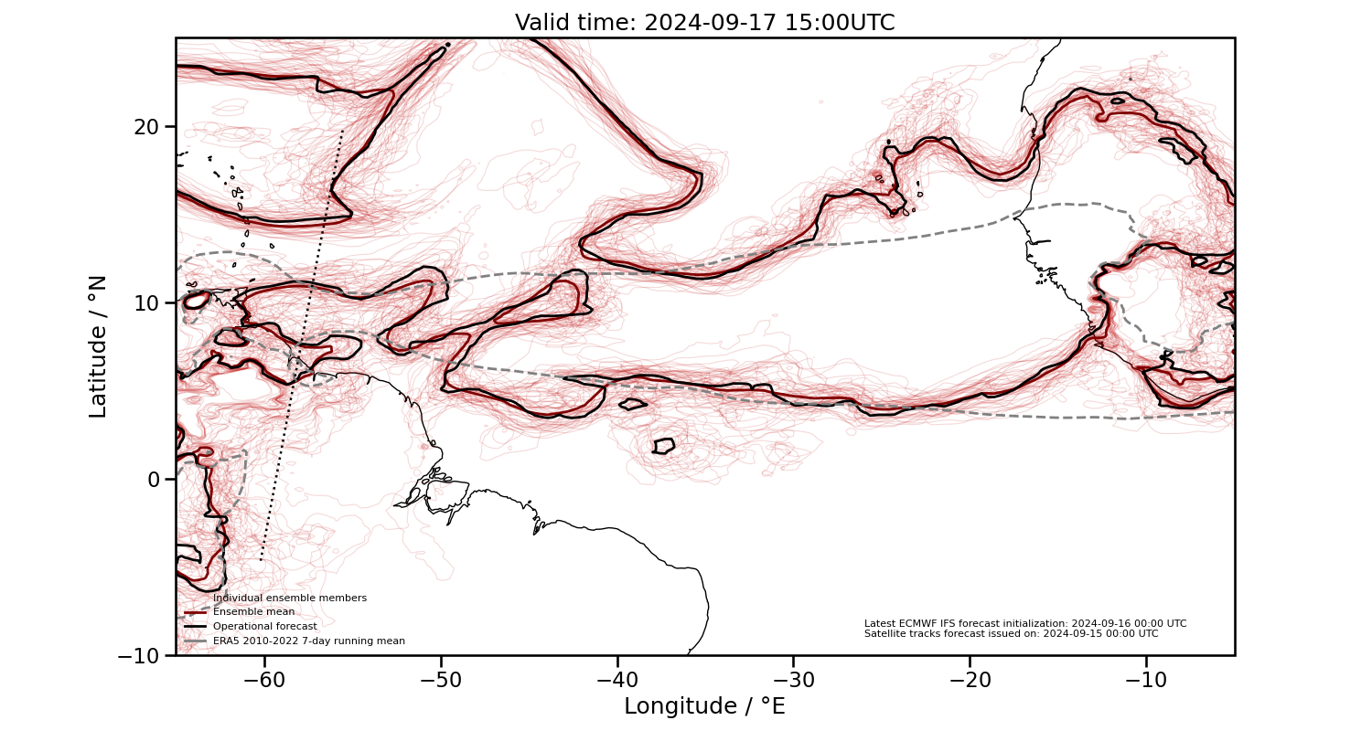
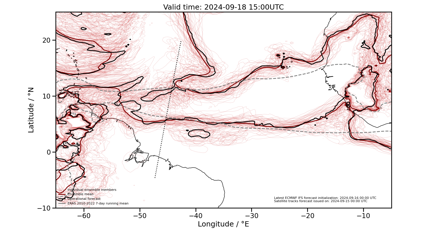
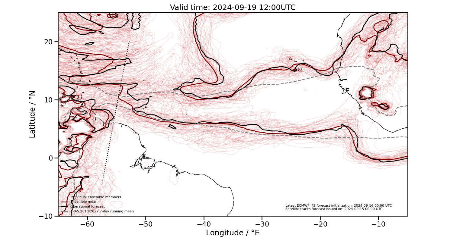
Ensemble forecasts of moist margins
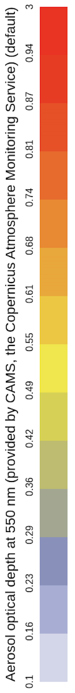
Total aerosol optical depth
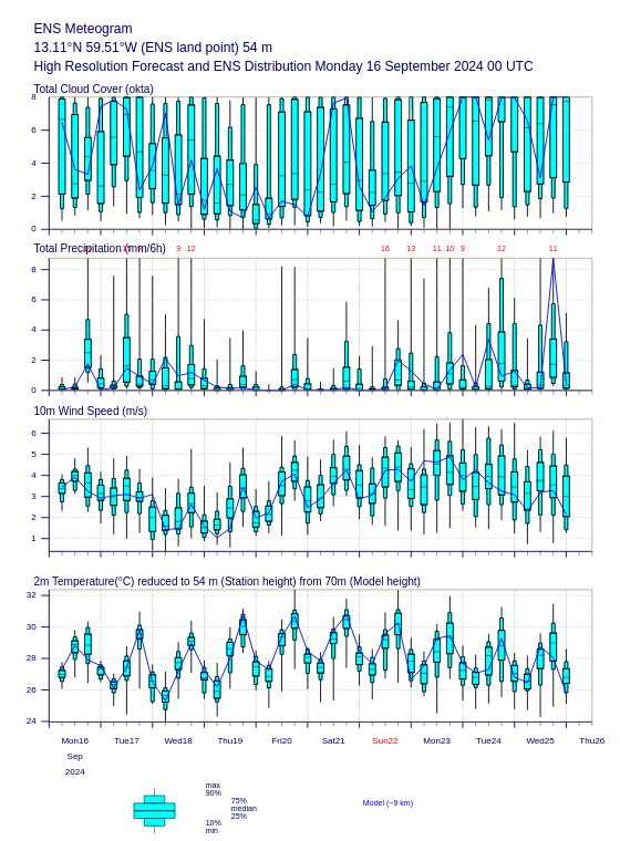
Local forecast for Barbados
Summary
- Today’s flight:
- southern circle south west of the ITZC moist margin.
- middle and norther circles inside the ITZC moist margins.
- chance to sample the doldrums in inbound and outbound paths.
- might meet some convection during the flight, specially over the middle and norther circles.
- Thursday’s flight:
- southern ITCZ moist margin similar on latest operational runs but still uncertain on the ensemble.
- likely to encounter convection associated with tropical depression Gordon.
Supporting figures
Horizontal surface wind convergence