PERCUSION Weather briefing
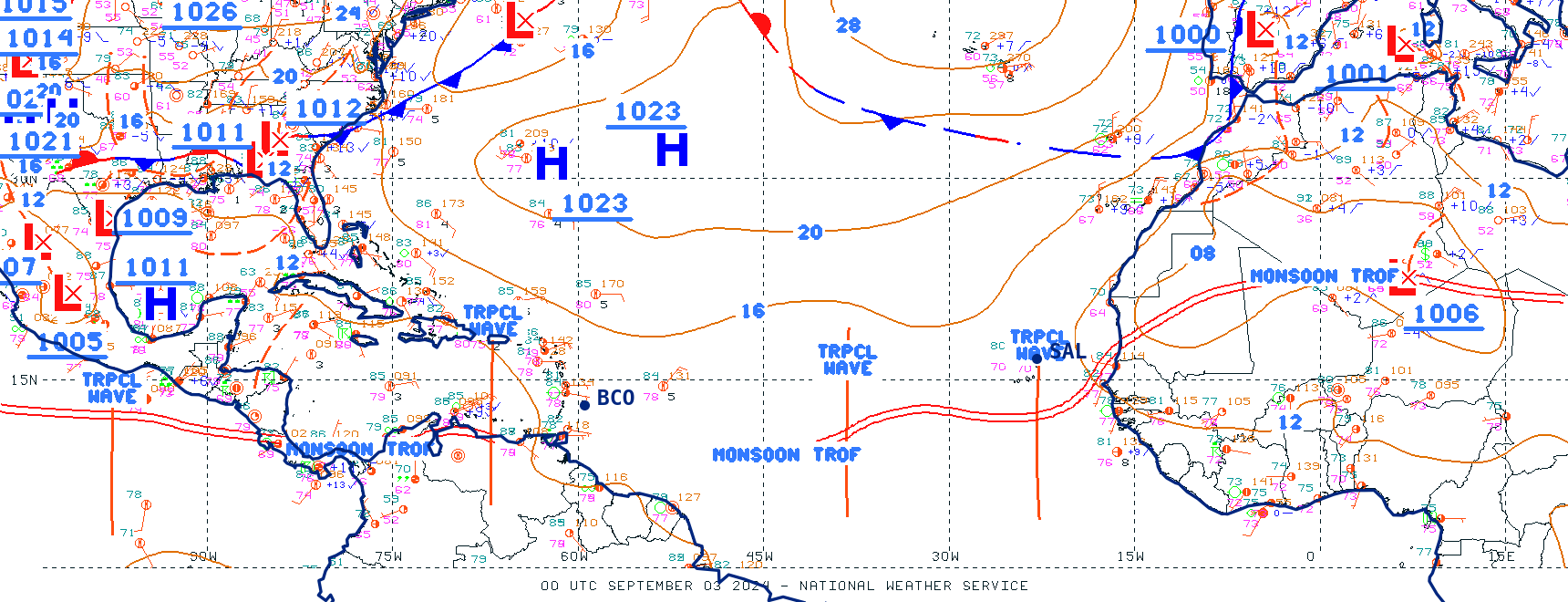
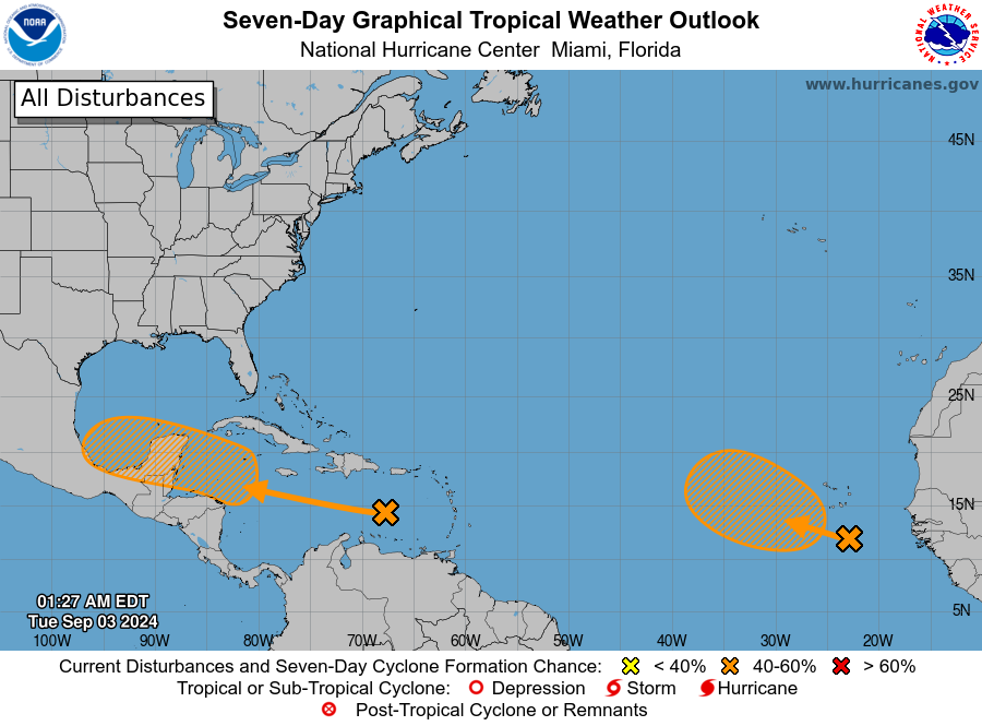
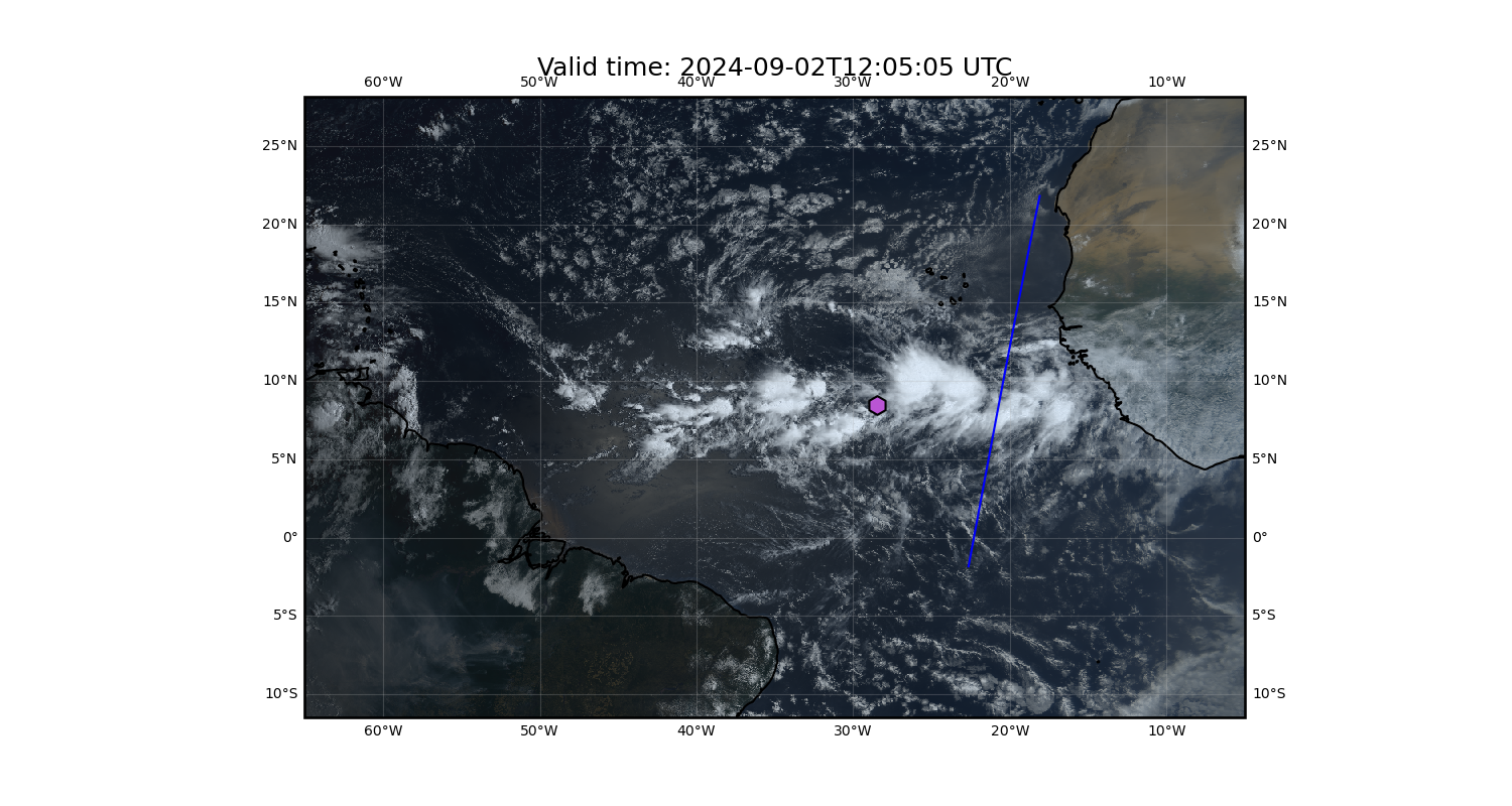
Current synoptic situation
NHC surface analysis
NHC tropical weather outlook
NHC tropical Hovmöller
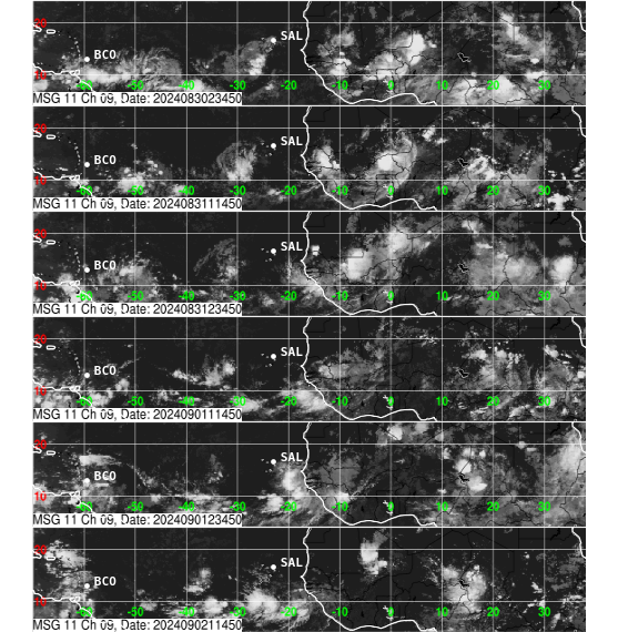
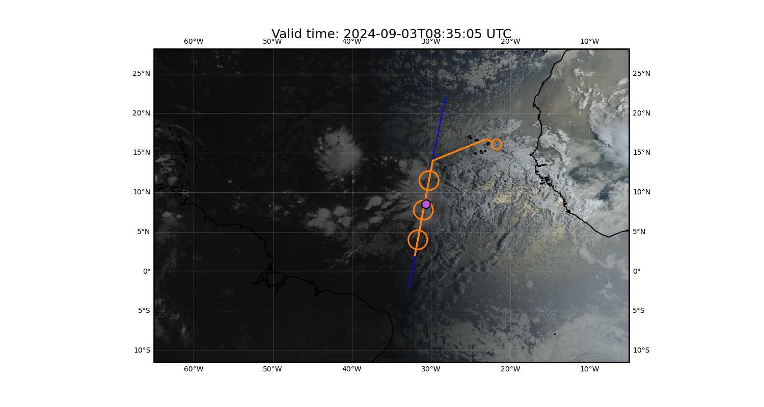
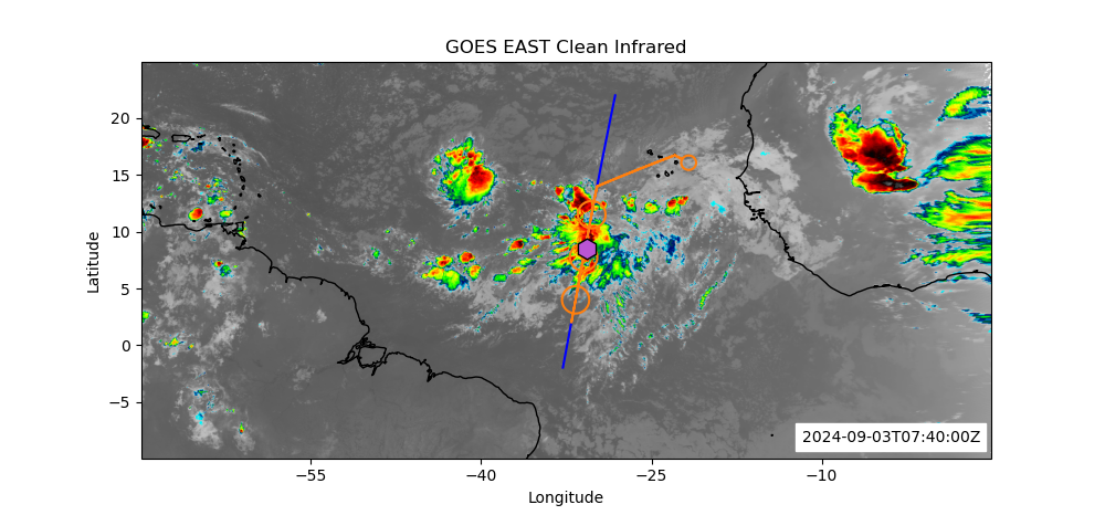
Latest satellite images
GOES yesterday’s image
GOES latest image
GOES WEST Latest Infrared Image
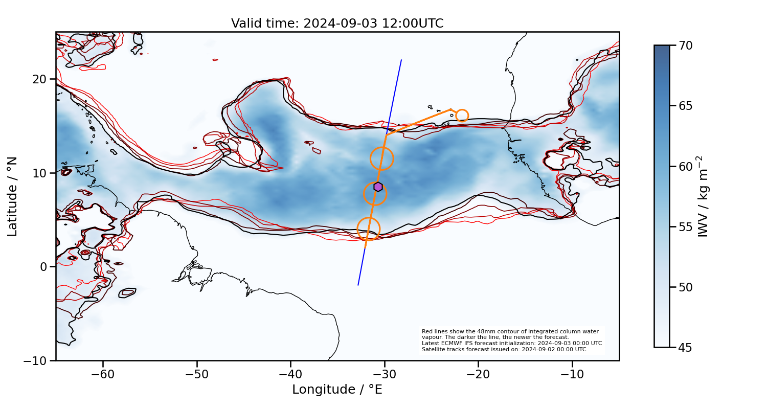
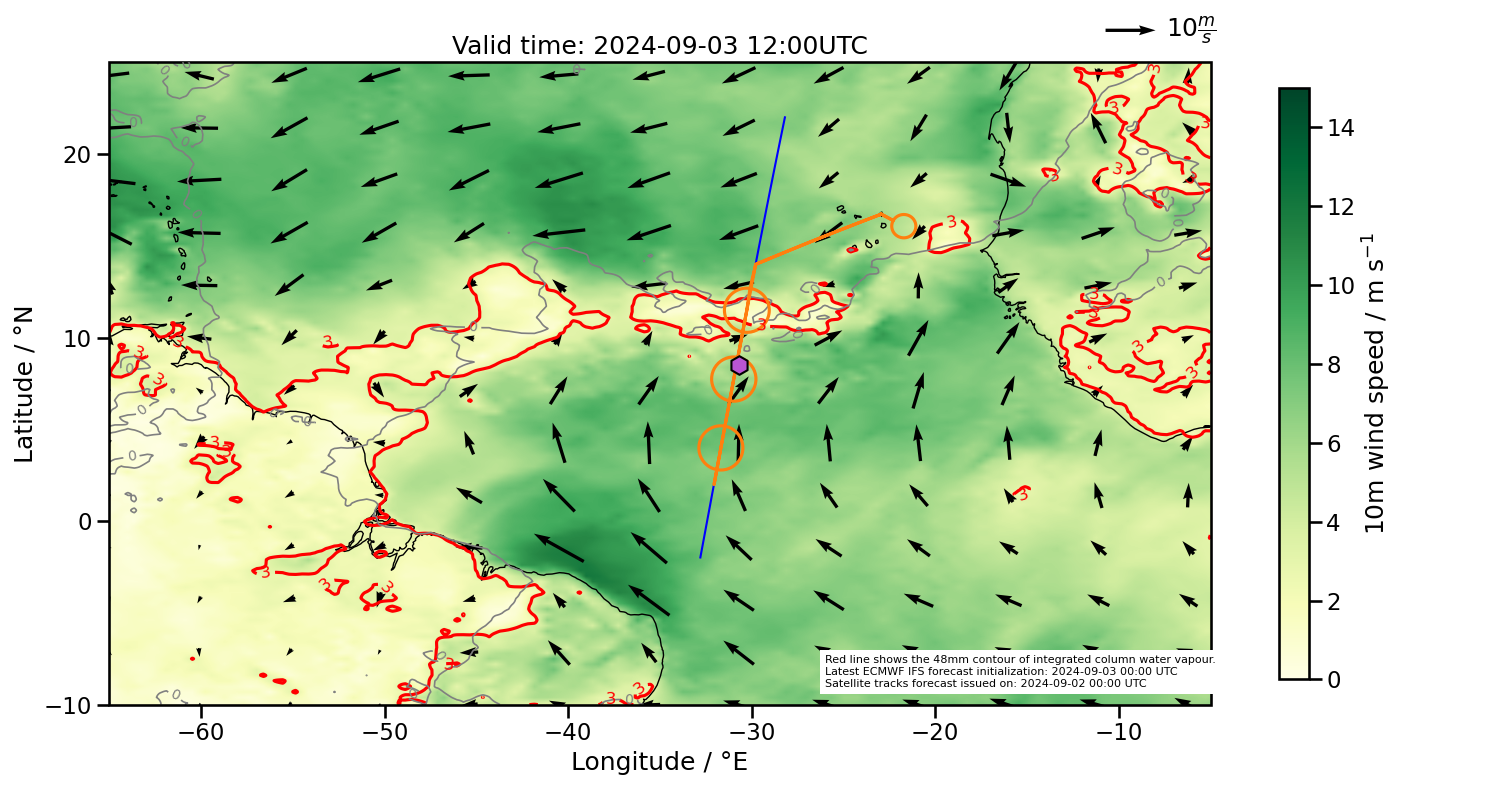
ECMWF Forecasts
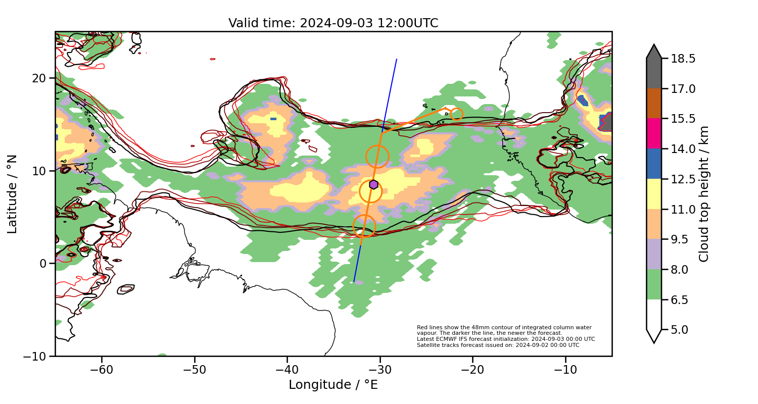
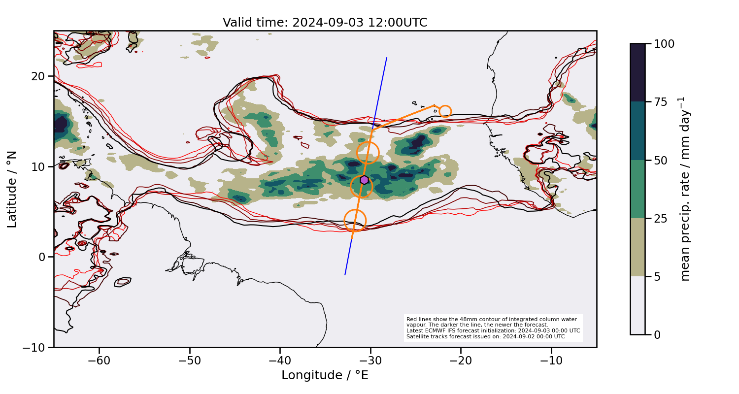
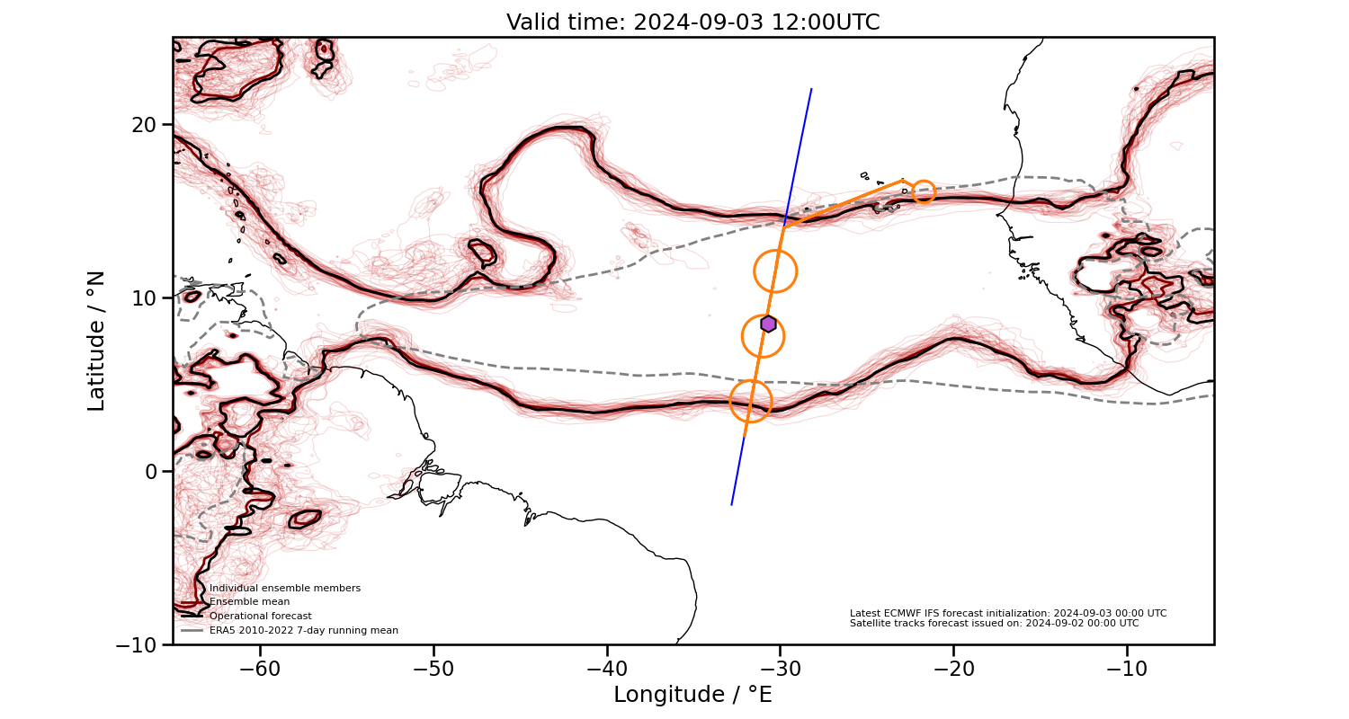
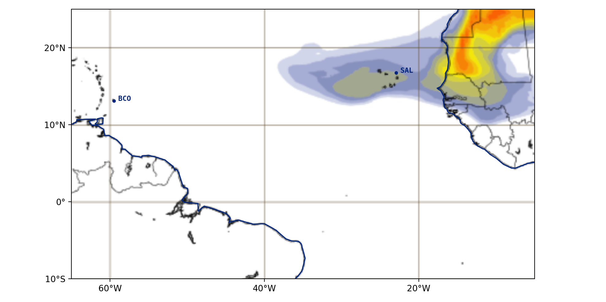
2024-09-03 12:00 UTC
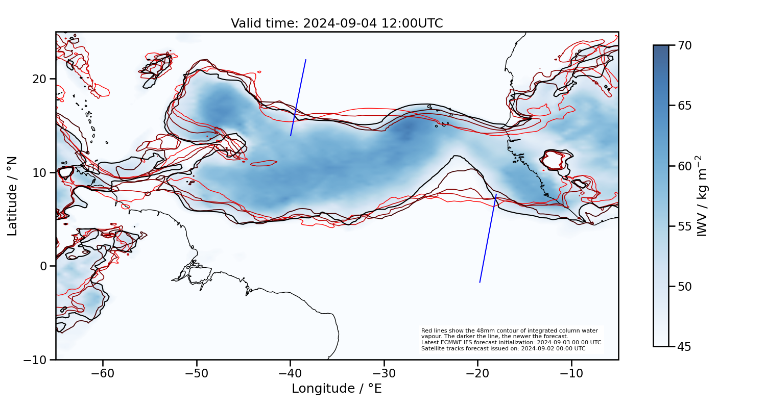
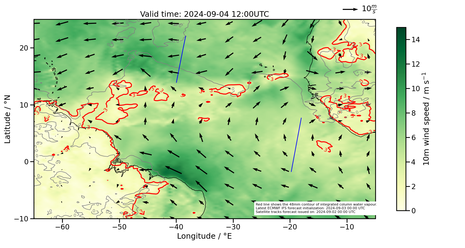
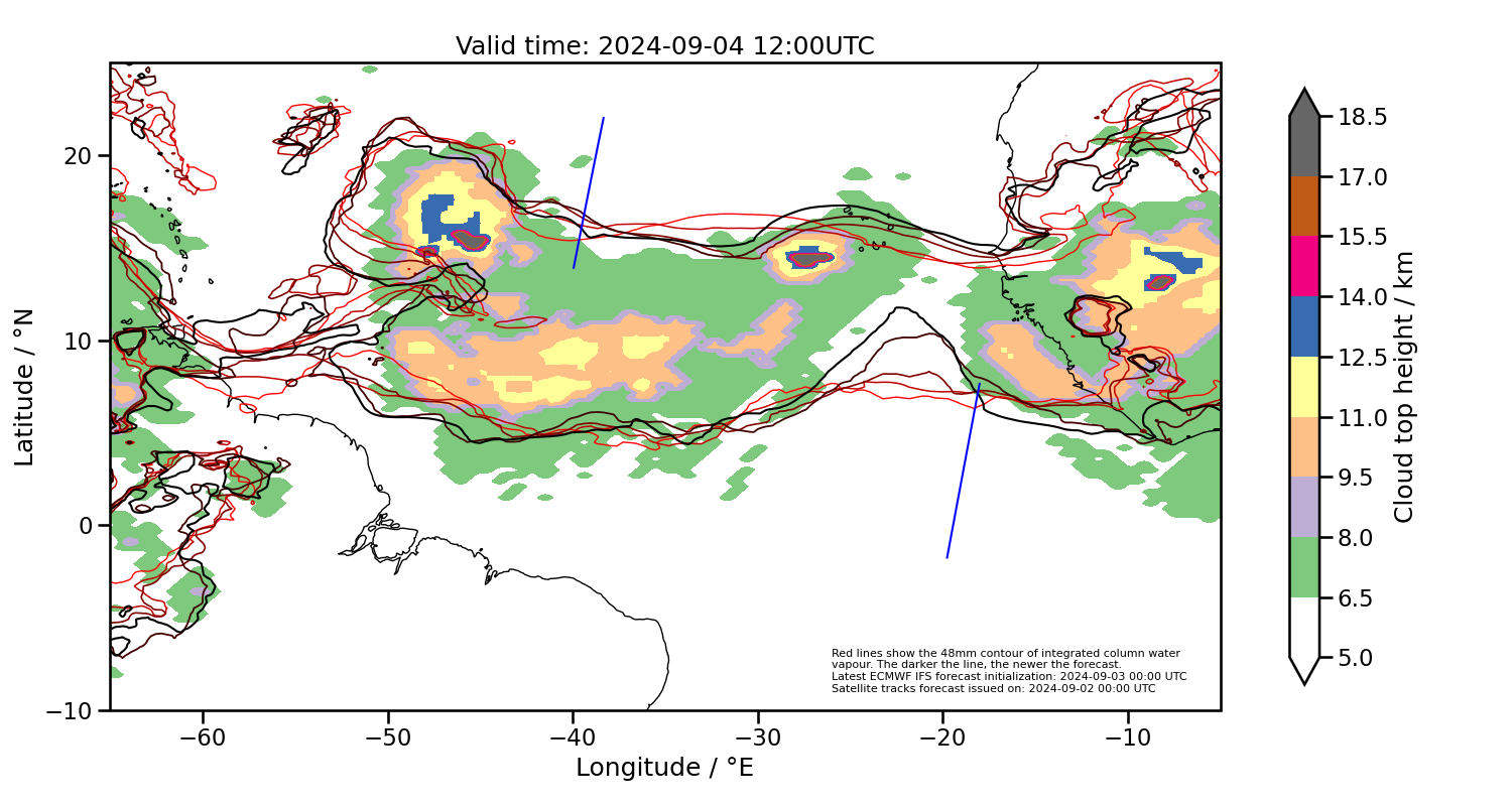
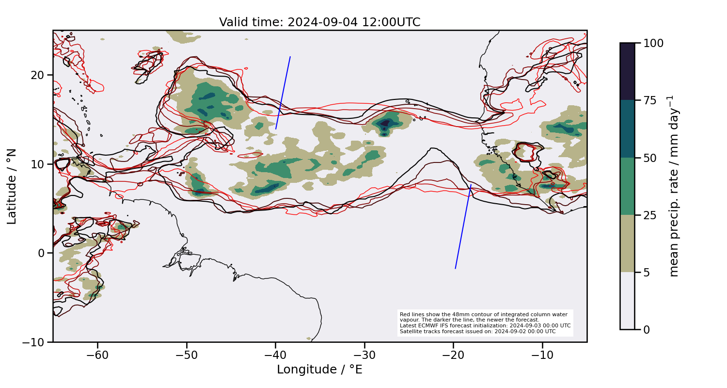
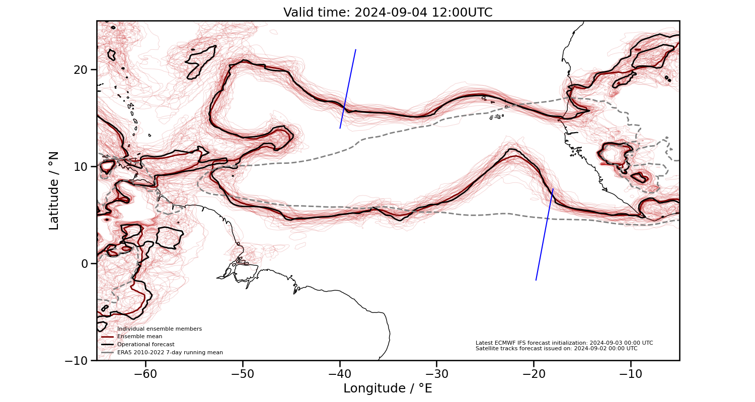
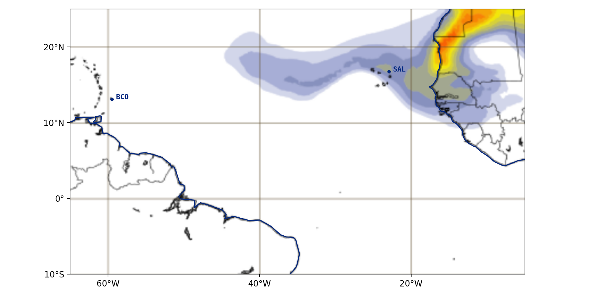
2024-09-04 12:00 UTC
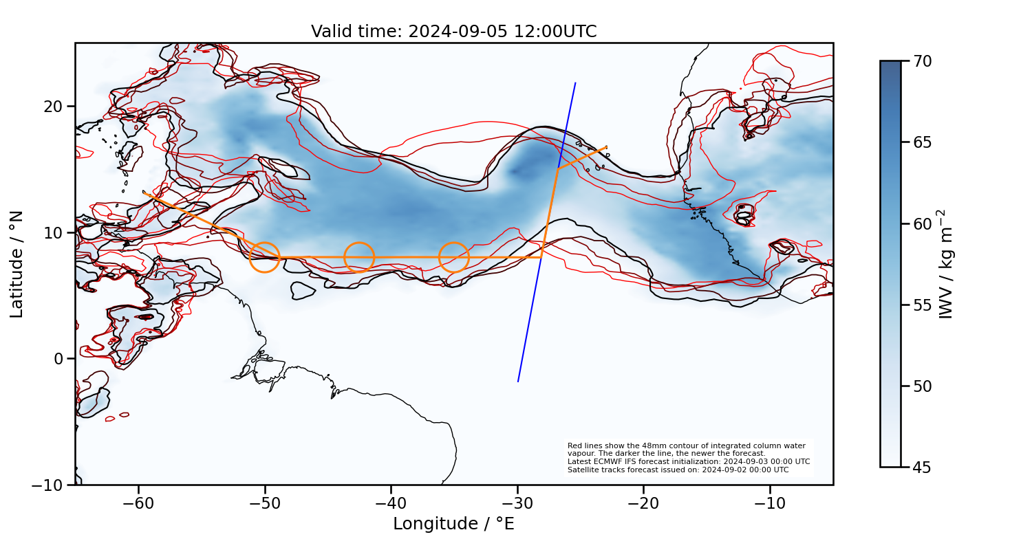
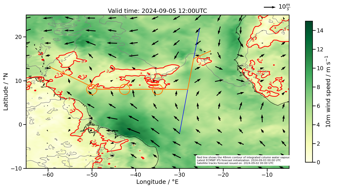
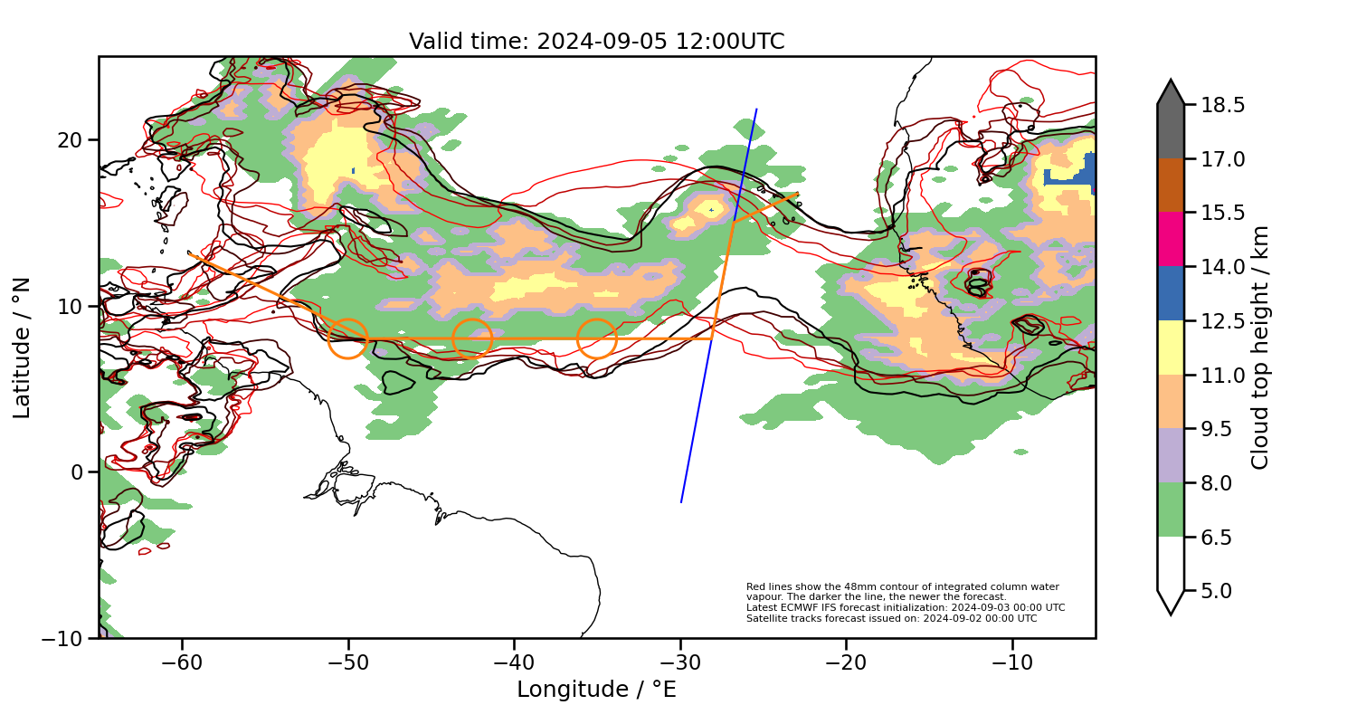
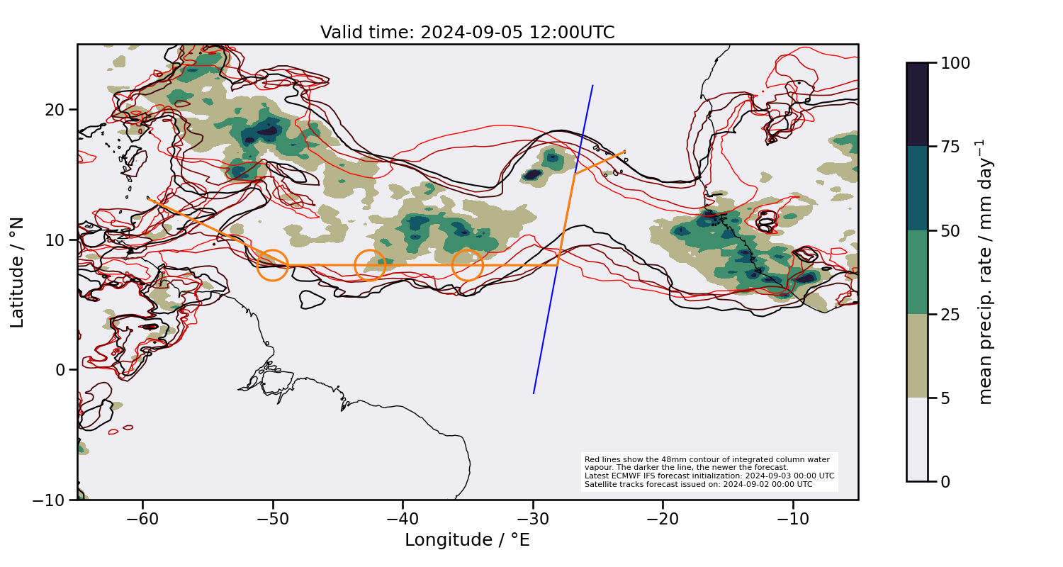
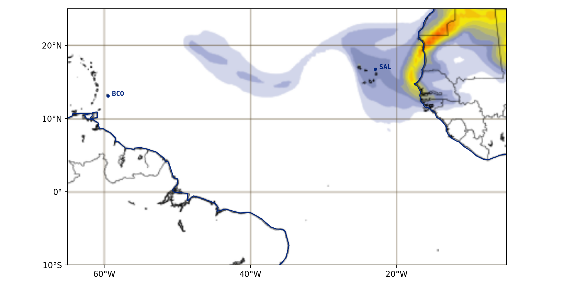
2024-09-05 12:00 UTC
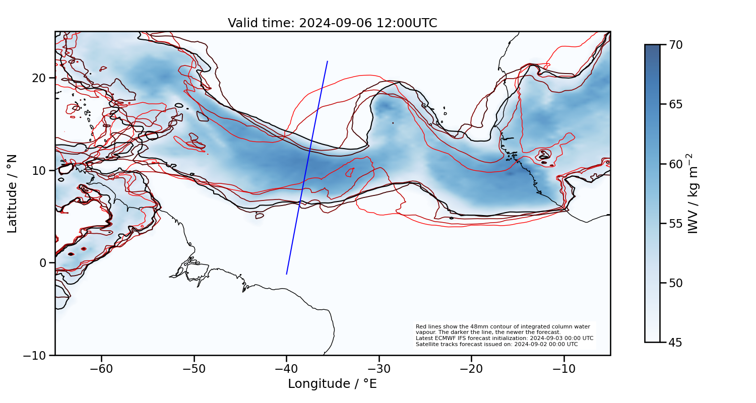
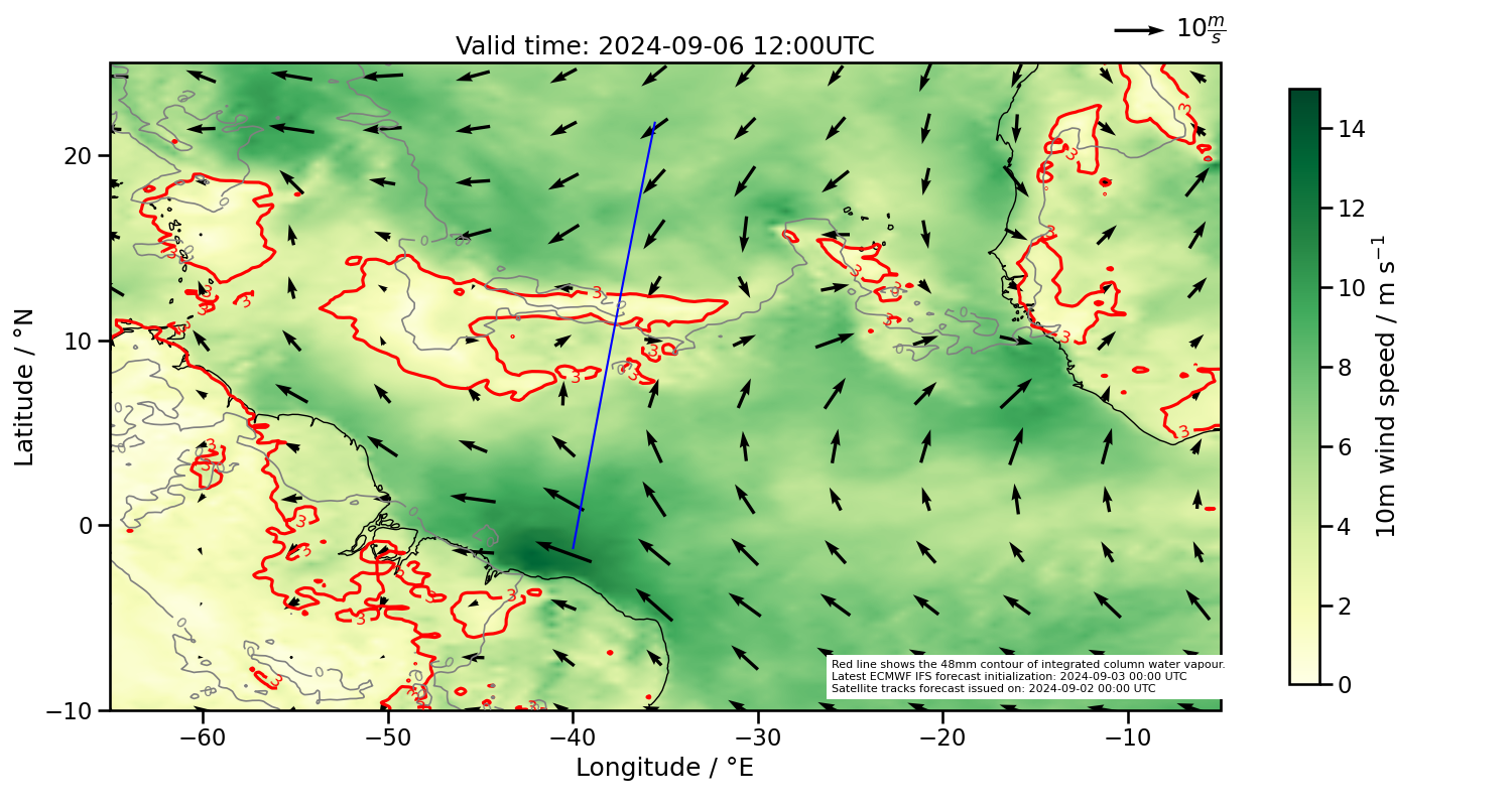
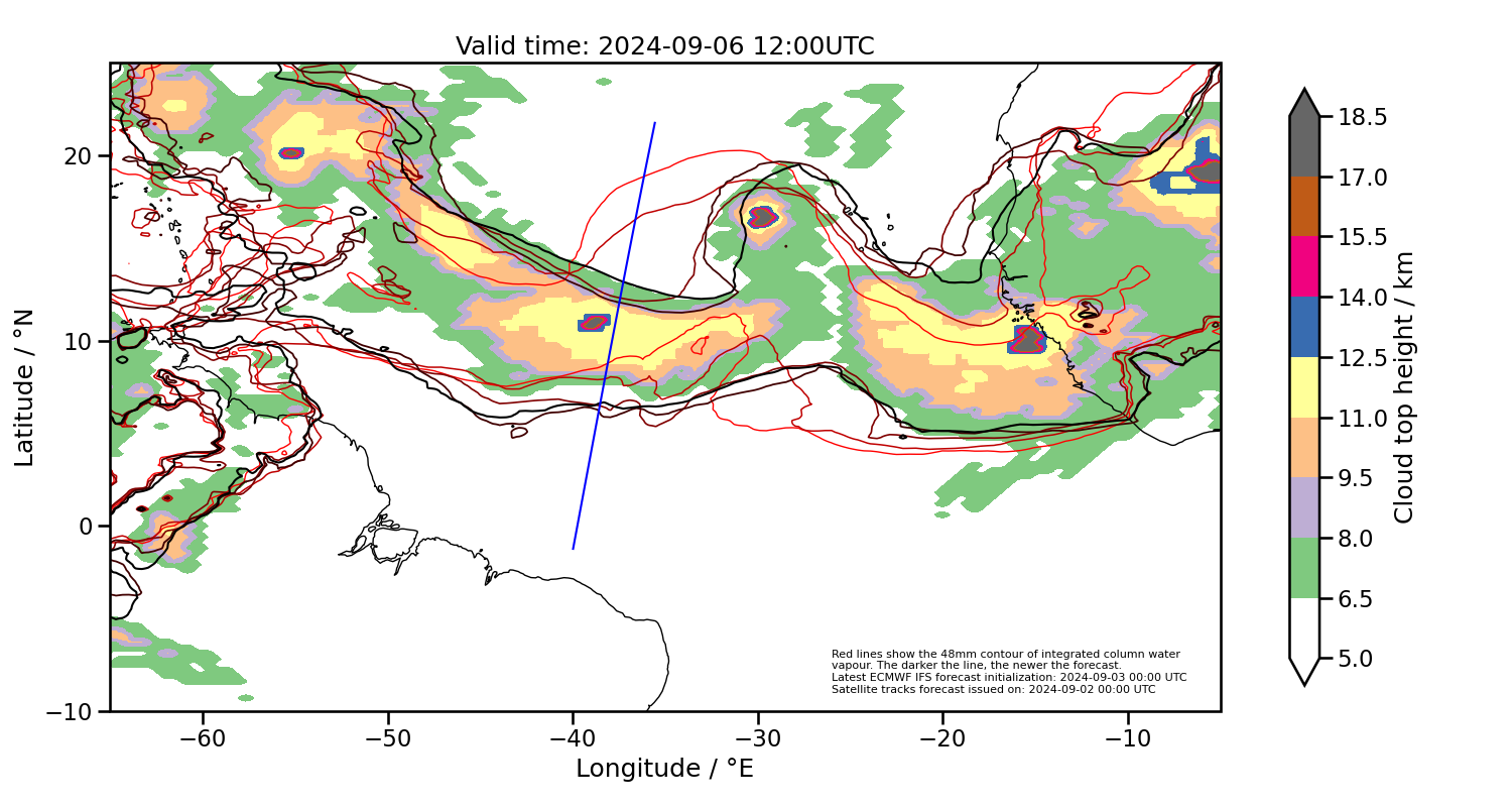
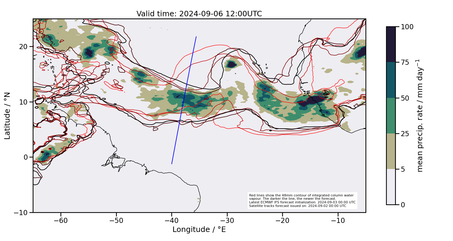
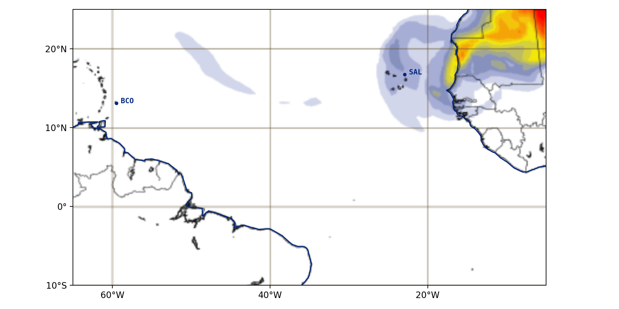
2024-09-06 12:00 UTC
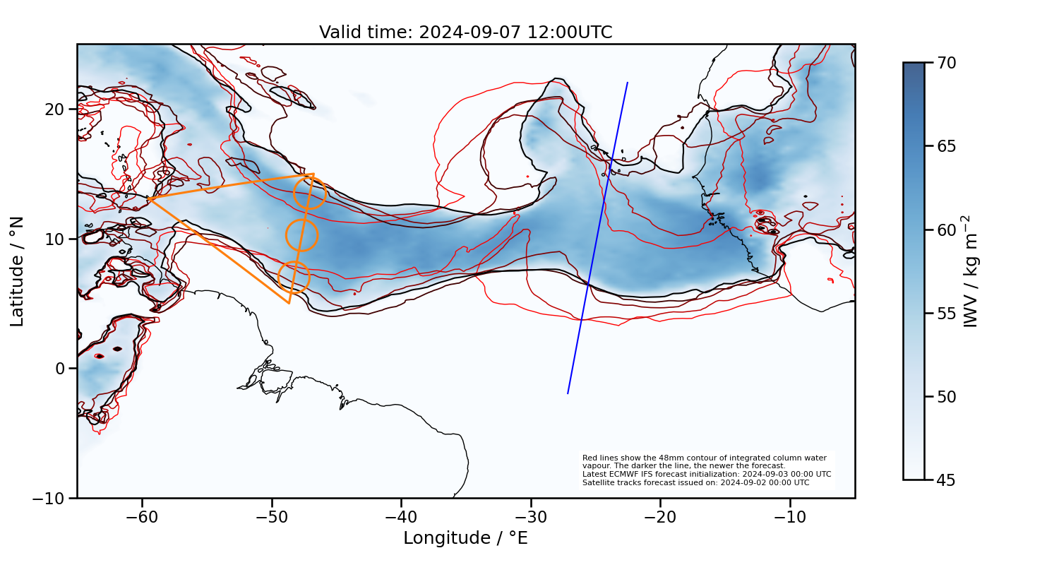
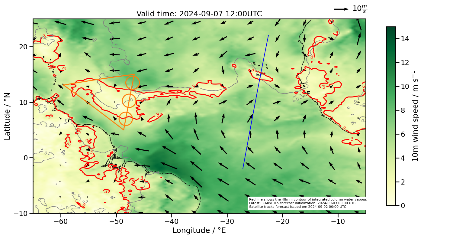
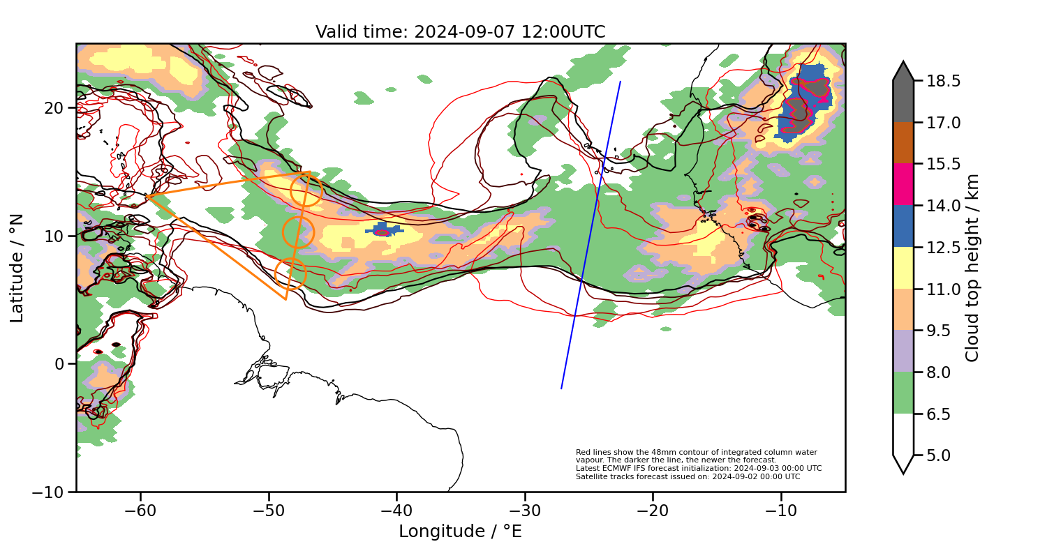
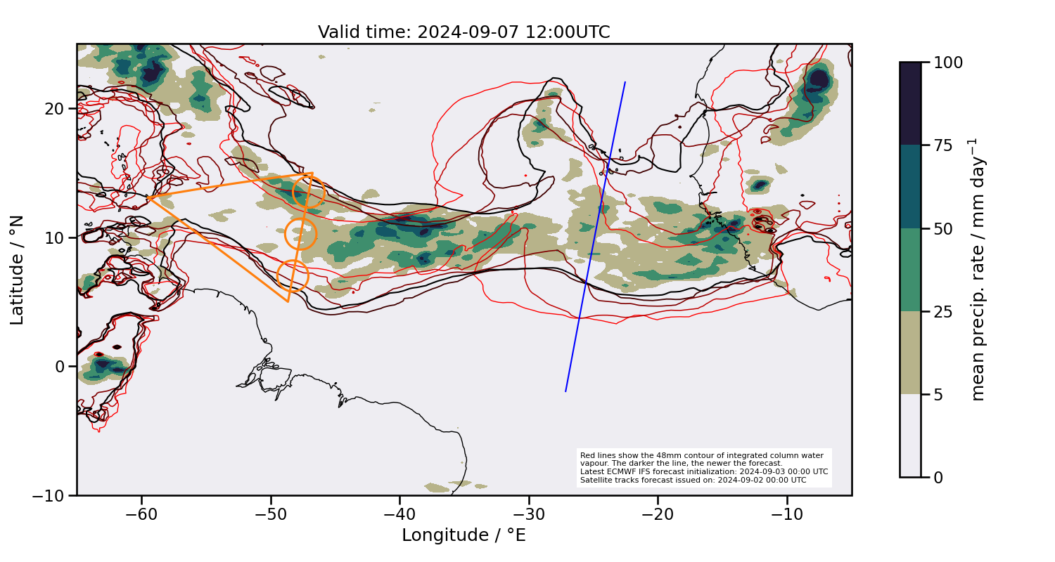
2024-09-07 12:00 UTC
Ensemble forecasts of moist margins


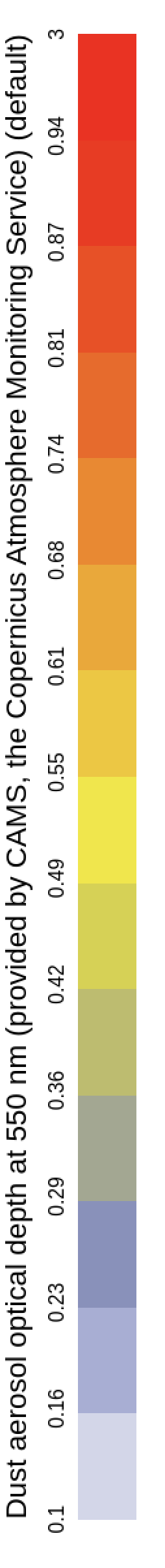
Saharan dust forecast
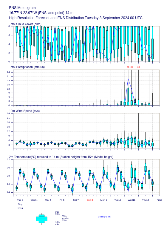
Local forecast for Sal
Summary
- For today’s flight
- ITCZ very wide, northern circle placed near the edge with strongest gradient
- middle (and perhaps northern) circles prone to (strong) convective activity
- ATR perhaps less convective, mid-level clouds
- For tomorrow’s transfer flight
- more or less along the strongest southern IWV gradient, no threat of storms